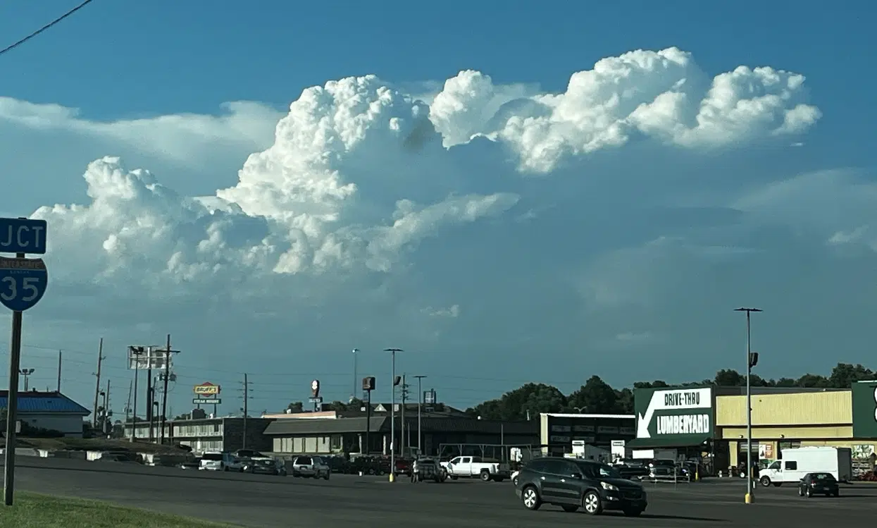
After thunderstorms brought high wind and large hail to parts of the KVOE listening area outside Emporia, there is a low-end risk for more severe weather Sunday afternoon.
The Storm Prediction Center has the listening area in a marginal risk for 1-inch hail and 60 mph wind gusts. The National Weather Service expects the peak window for potential activity is from early afternoon to mid-evening.
This follows a night where area residents had several rounds of thunderstorms:
Severe weather reports
*4 miles north of Admire: 0.88-inch hail
*Council Grove: 1.25- to 1.5-inch hail
*Lyndon: over 100 Evergy customers offline
*Melvern Lake: Large tree limbs downed
*Olivet: Tree damage
*Osage City: 3-inch to 8-inch tree limbs downed and unspecified number of power poles broken due to fallen trees
*Reading: 0.88-inch hail
*Waverly: Downed power line led to small power outage
*4 miles east of Wilsey: 1.75-inch hail
Rain totals
*Emporia Municipal Airport: 0.34 inches
*Neosho Rapids: 0.50 inches
*Reading: 0.75 inches
*Thorndale: 0.40 inches
Memorial Day’s forecast calls for sunshine and highs in the low 80s. Storms return to the area forecast by Tuesday night and remain at slight to moderate chances through at least Saturday.
If you have storm reports or rain totals from Saturday night and early Sunday, message the Bluestem Farm and Ranch text line at 620-342-5863.
2 am Sunday: Storms produce scattered wind, hail damage
For the second straight weekend, there has been storm damage in parts of the KVOE listening area.
This past Sunday, the damage was to trees in several parts of Emporia, especially near 12th and Neosho and from Peter Pan Park to Soden’s Grove. On Saturday, the damage was noted elsewhere, and this time there was also hail to report:
*Council Grove: 1.25- to 1.5-inch hail
*Lyndon: over 100 Evergy customers offline
*Melvern Lake: Large tree limbs downed
*Olivet: Tree damage
*Waverly: Downed power line led to small power outage
*4 miles east of Wilsey: 1.75-inch hail
The reports come with area residents under a moderate severe weather risk and all area counties under tornado watches for Saturday evening into early Sunday.
KVOE and KVOE.com will have updates. If you have storm reports or rain totals, message the Bluestem Farm and Ranch text line at 620-342-5863.
7-10:30 pm Saturday: Area counties now in tornado watches
All area counties are now in tornado watches through late Saturday night, if not into early Sunday morning.
Lyon, Chase, Morris and Wabaunsee counties are in one watch until 1 am Sunday. Besides isolated to scattered tornadoes, hail up to apple size and widespread wind gusts up to 80 mph are possible.
Coffey and Greenwood counties are in a tornado watch until 5 am Sunday. Hail up to egg size and 80 mph winds are possible with storms in these counties.
Greenwood County was cleared from a particularly dangerous situation tornado watch shortly before its scheduled expiration at 11 pm. There was a risk for scattered strong tornadoes, hail to the size of DVDs and wind gusts up to 80 mph.
Flash flooding is also possible with storms moving through the area.
3:45 pm Saturday: Greenwood County included in PDS tornado watch until 11 pm
Part of the KVOE listening area is under a tornado watch through most of Saturday night.
Greenwood County is part of a watch involving south-central Kansas and most of Oklahoma until 11 pm. It is a particularly dangerous situation, or PDS, watch with concerns about several strong tornadoes, hail to the size of DVDs or 4.75 inches in diameter and wind gusts up to 80 mph.
All area counties remain in a moderate severe weather risk, or Level 4 on the Storm Prediction Center’s 5-level scale. All hazards are possible. Flash flooding is also possible.
6:30 am Saturday: Moderate severe weather risk Saturday across most of Kansas
Area residents are asked to be weather-watchful by Saturday evening and to be prepared in case severe weather comes to east-central Kansas as anticipated.
The Storm Prediction Center has all area counties — and most of Kansas — in a moderate risk area, or Level 4 on its 5-level scale. National Weather Service meteorologist Bill Gargan says storms could be approaching Emporia by 9 pm, but they should develop in central Kansas well before that.
The lead risk for area counties is wind up to 80 mph, along with egg-sized hail or larger. Tornadoes are possible, as is flash flooding. Gargan says there is a chance we could have a large number of thunderstorms creating outflow boundaries, where colder air rushes out well ahead of the storms and chokes off the warm air that fuels the severe weather activity, but he expects at least some severe weather across Kansas on Saturday evening.
This is a big weekend for camping, so the National Weather Service is urging campers to have several ways to get warnings, know shelter options, have an emergency kit and avoid camping near rivers or streams.
Be sure to stay with KVOE, KVOE.com and KVOE social media for updates. Also, be sure to connect to KVOE’s social media channels if you haven’t already done so — Facebook, Instagram and YouTube, all @kvoenews, and X@kvoeam1400.