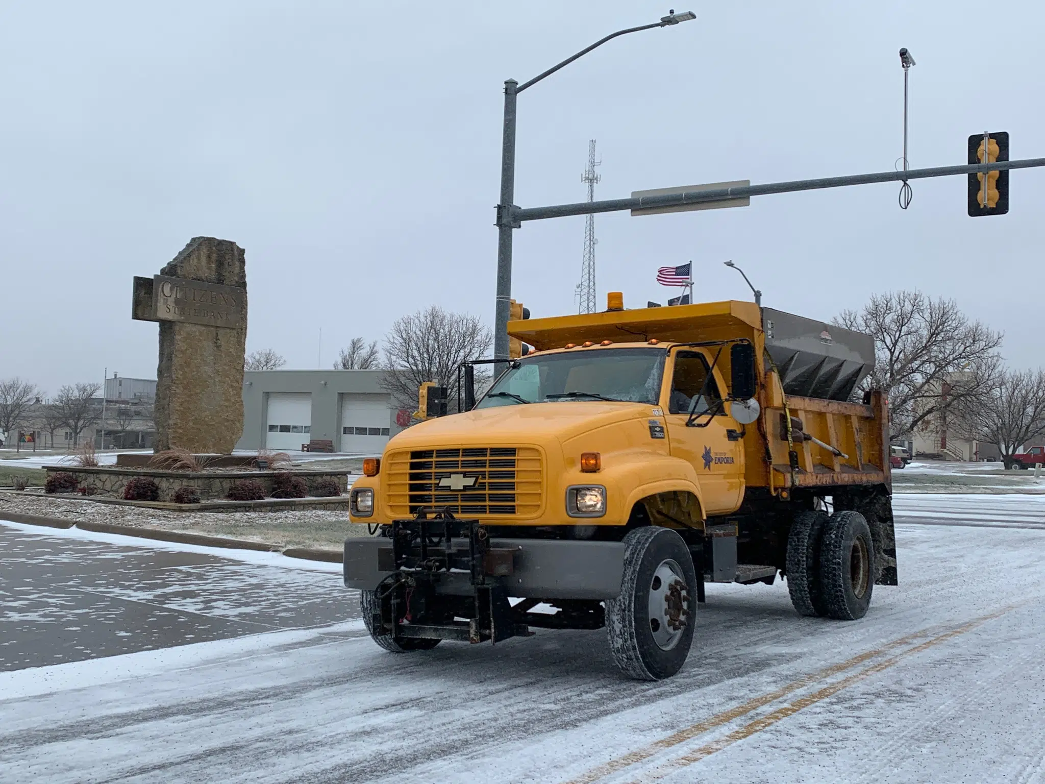
All told, Emporia Public Works Director Dean Grant is pleased with the street treatment effort after our first winter storm of the season over the New Year’s weekend.
Crews were out early at the onset of the storm well before sunrise Saturday and went out again through early Saturday evening. They then went back out early Sunday to retreat after some areas refroze. Grant says crews did a good job, especially given the cold, icy conditions.
The city has used a combination of salt and hadite for years, and it can be an effective melting combination when temperatures are 25 or above — or a few degrees lower than that with abundant sunshine. Grant says the city could move to brine, as used by the Kansas Department of Transportation on major highways, but that may only reduce the effective temperature to around 20 degrees.
There is at least a decent chance of light snowfall for Wednesday night along with cooler temperatures. Right now, the forecast calls for 2 inches of snow or less.
Looking ahead, National Weather Service meteorologist Chad Omitt says we need some moisture, but the opportunities for more snowfall are pretty limited in the short term.
At this point, eastern and east-central Kansas are the state’s only areas not in any stage of drought after 0.90 inches of rainfall on Veterans Day, 0.60 inches of rainfall Dec. 15 and the combination of a thin glaze of ice and less than an inch of snowfall from this past weekend.
6:30 am Monday: Normal driving conditions may return to many area roads Monday
Driving conditions may get back to normal Monday after a winter storm brought light snow and a thin glaze of ice that impacted travel through the New Year’s weekend.
Emporia Police is noting patchy ice in downtown Emporia and on major arterials, although those streets have improved considerably since a second round of light snowfall Saturday night. Residential streets are slick.
Out in Lyon County, Undersheriff John Koelsch says driving conditions are “pretty much normal” for paved roads — for the most part.
Paved north-south roads are also in slightly better shape than east-west roads as of early Monday. Gravel roads are still snow-packed.
Even with the better driving conditions, Koelsch says tow trucks may be busy if vehicles break down in the early-morning cold.
A wintry mix of precipitation fell for several hours early Saturday, setting the stage for three main rounds of crashes through the day, although Emporia Police, Lyon County deputies and Emporia Fire/EMS were busy all day. Three people were taken to Newman Regional Health after separate crashes, one in the 2300 block of Burlingame Road around 6:30 am, another from a semi rollover on Interstate 35 near Road U shortly after 11 am and another from an SUV crash on Interstate 35 near Burlingame Road shortly after the semi crash.
An ice-related wreck Sunday on the Kansas Turnpike in Osage County about 30 miles northeast of Emporia led to minor injuries for one person, who declined a trip to a hospital afterward.
Nearly 5,000 Evergy customers across the area lost power as the result of three outages Saturday morning. Some 1,700 customers lost power from downtown Emporia east to near Roads 170 and T, while 2,500 customers across most of Osage County lost their power and 700 customers in northwest Lyon County, including residents in Allen, Americus and Bushong, went without power for several hours.
Wind chills dipped to -12 early Sunday, prompting most area churches to cancel services. The combination of poor travel and subzero wind chills led LCAT to cancel services Saturday.
Totals were light — less than an inch of snow along with the ice glaze from the weekend. National Weather Service meteorologist Chad Omitt will join the 7:15 am Newsmaker segment to talk more about the snow event and look ahead to the rest of the winter, including the prospect for more light snowfall Wednesday night, while Public Works Director Dean Grant will be on the 8:20 am Newsmaker 2 segment to discuss the snow treatment effort along with upcoming projects later this year.


