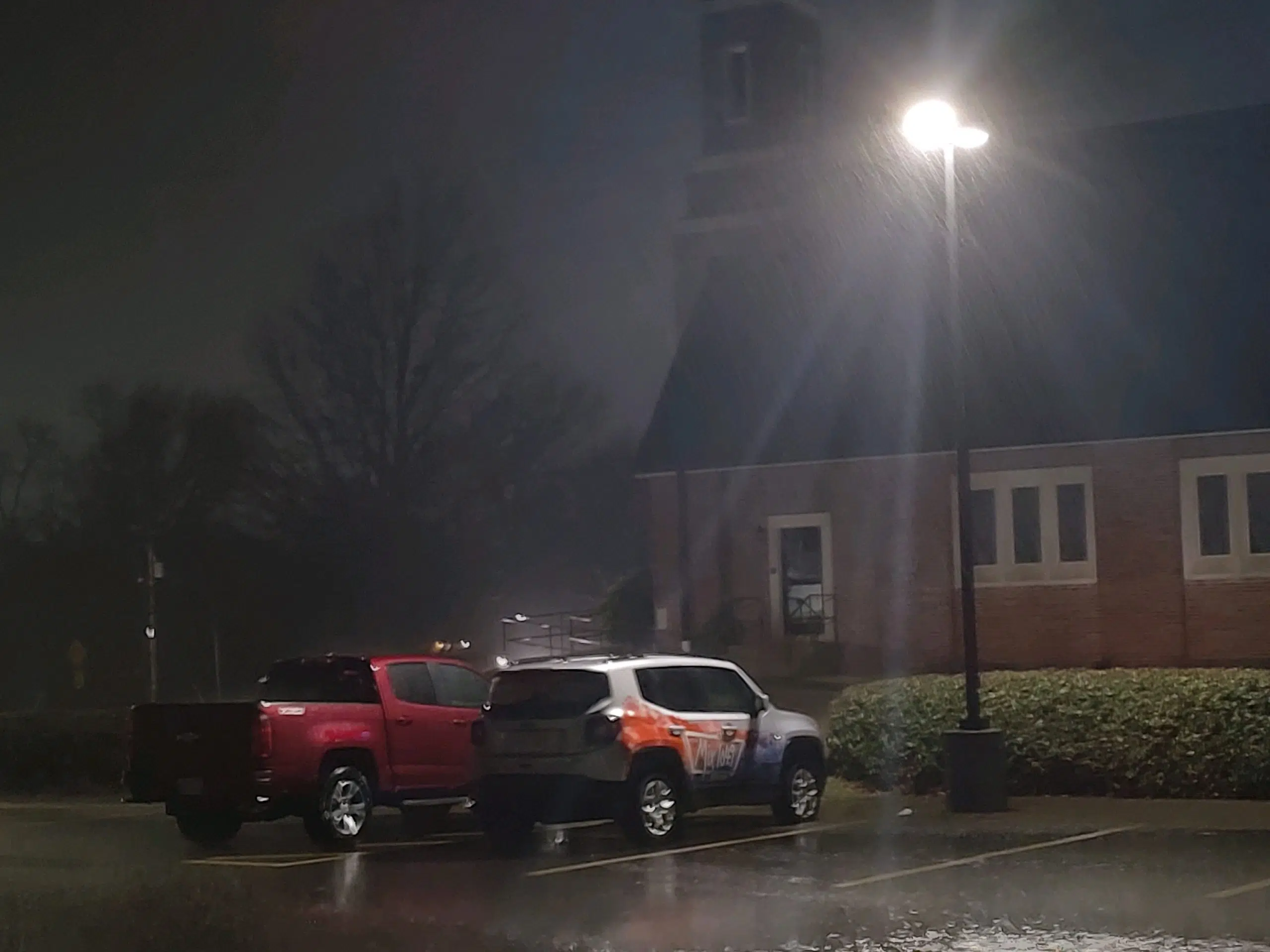
Minor remnants of severe thunderstorm activity from Tuesday are still visible across the listening area.
Flooding became the major concern for the listening area shortly after severe weather warnings cleared the area just after 8:30 pm. Rain totals varied across the listening area between Tuesday and Wednesday.
*KVOE Studios 1.3 inches
*0.97 inches 2512 Graphic Arts in Emporia
*2.5 inches Burns Street
*1.5 18th and Briarcliff
*1.5 South/Sylvan
*2.26 Westridge addition
*1.55 10th and Weaver
*1.17 at the Airport
*0.83 East of the Airport
*3.25 inches Americus
*1.75 Reading
*1.30 North of Allen
*0.80 Allen
*0.33 inches Bushong
*1.75 inches in Reading
*2.78 1.5 miles east of Bethel Corner
*2.5 1mi North of Saffordville
*1.5 4mi east of Cottonwood Falls
*0.25 7NW of Gridley
*0.50 west of Gridley
Totals did lead to a handful of road closures between late Tuesday and early Wednesday. The closure list is relatively short with
*North Ave. to Road 250 north of Americus
*Road 160 between Roads G5 and J
*300-600 block of Road 240
*700-800 blk Road 215
REOPENED ROADS:
*North Highway 99 north of I-35 to Road 240
The National Weather Service reminds motorists if they come across flooded roadways to turn around, don’t drown.
Precipitation will be a likely staple of the local forecast through the upcoming weekend with slight chances of showers continuing into Wednesday evening before we see a chance of a rain/snow mix. Thursday’s forecast is calling for a chance of rain and snow in the early morning hours.
Friday will take a break from precipitation with sunny skies and temperatures in the mid-60s before chances of rainfall re-enter the picture Saturday and Sunday.
We’ll keep you updated on KVOE, KVOE.com and KVOE social media. Join KVOE on Facebook, Instagram and Twitter if you haven’t already done so.


