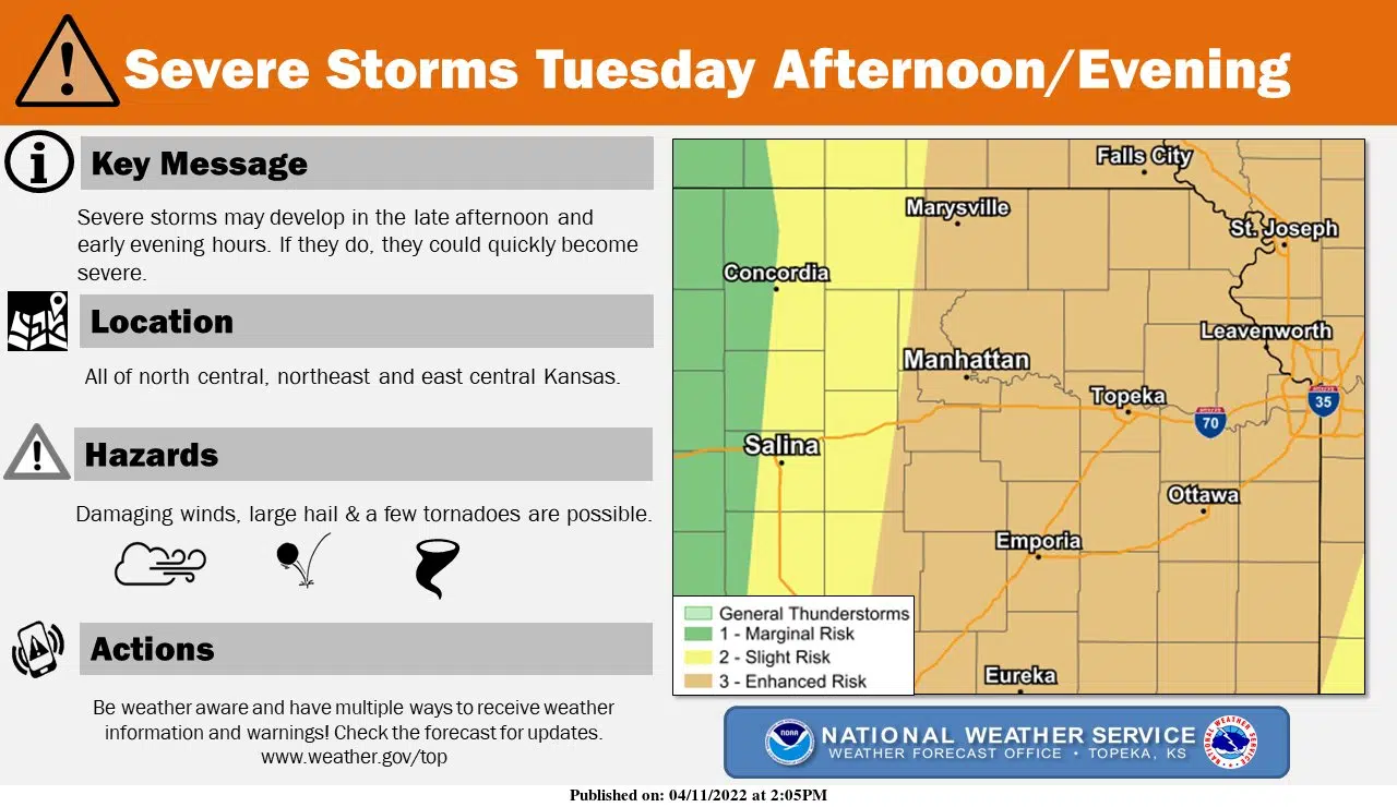
Severe weather is so commonplace across the Central Plains that you may have either forgotten your plans or haven’t set them yet. But you’re being asked to review or develop plans with all severe weather hazards possible Tuesday evening.
The main risk is currently large hail, but tornadoes — including some strong twisters — are possible along with damaging winds. Lyon County Emergency Management Director Jarrod Fell says there should be at least two components to any severe weather plan, including exactly how you will get severe weather information and where you plan to take shelter.
If you are out and about across Lyon County when severe weather strikes, be advised there are no specifically-designated public shelters.
Also, Fell says you should not call Lyon County’s Emergency Dispatch Department if you want information about severe weather or if you need last-minute help developing your safety plan.
Be sure to stay tuned to KVOE, KVOE.com and KVOE social media for updates. If you haven’t already done so, join KVOE’s social media channels on Facebook, Instagram and Twitter to get the latest developments. KVOE’s Storm Team volunteer spotter network is also poised to give “ground truth” information if needed.
6:30 am Monday: Enhanced severe weather risk ahead Tuesday evening
A notable severe weather threat is in the forecast for Tuesday evening.
Currently, the Storm Prediction Center has an enhanced risk for all area counties and most of the eastern half of Kansas, with the peak time for severe weather expected between 6 pm and midnight. All severe weather hazards are possible, although the greatest threat appears to be large hail.
Tuesday will be a windy day ahead of the severe weather risk. Southerly winds could approach 50 mph at times before storms develop. Fire danger will be elevated but won’t be critical, as it will be just west of the KVOE listening area.


