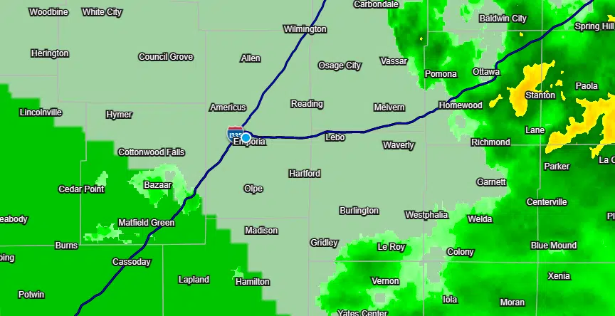
Chances of severe weather late Thursday night and early Friday were already low for areas south and west of Emporia. Those chances appear to be diminishing further as time progresses.
Early-morning information from the Storm Prediction had a marginal risk area along and south of a line from Cottonwood Falls to Olpe to Gridley. That line has now shifted south and now includes areas along and south of a line from Bazaar to Hamilton to Fredonia.
Quarter-sized hail is the main concern before storms lose their steam early Friday. KVOE and KVOE.com will have updates as warranted.
7:45 am Thursday: Part of KVOE territory under marginal severe weather risk late Thursday night
Any risk of severe weather late Thursday is low-end and doesn’t cover the full KVOE listening area.
There is a marginal risk of severe weather along and south of a line from Cottonwood Falls to Olpe to Gridley late Thursday night into early Friday. Areas north of that line could see thunderstorms but no severe weather is expected. Better chances of severe storms are south of Wichita into central Texas.
Hail up to quarter size and wind gusts up to 60 mph are possible with stronger storms.
Showers and storms could happen periodically Thursday before stronger storms are possible after sunset, and the current forecast also has slight to moderate chances of more storms for most of the next week — aside from Saturday, which looks to be sunny and hot with highs in the low 90s. Differences in forecast models are making it difficult to pinpoint any organized severe weather risk for the next week.
We’ll keep you posted on KVOE, KVOE.com and KVOE social media.


