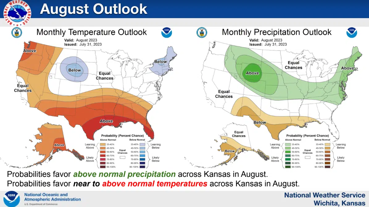
The National Weather Service Wichita forecast office is expanding its work to keep the public informed about monthly weather and climate highlights.
The Weather Service issued its July weather and climate packet Tuesday. Packet information includes climate and weather highlights for July, as well as current drought information, streamflow, subsoil moisture, wildland fire potential and temperature and rainfall outlooks for the next one to three months. On KVOE’s Talk of Emporia recently, meteorologist James Cuellar said forecasters already had a good framework for the graphical data after work with Wichita media — which makes it easier to produce the graphics than one might think.
The data locations include Cottonwood Falls, which had its driest July since 2017 and its driest first half of a year since 2018. Cottonwood Falls is now almost 8.5 inches below its annual rainfall average.
While the data focuses on the Wichita coverage area, which includes Chase and Greenwood counties in the KVOE listening area, there are some extrapolations statewide. Information for July indicates below-average precipitation for central and eastern Kansas, while temperatures — believe it or not, given our current heat wave — were actually near to below average statewide. Drought conditions also worsened for the eastern half of the state.
The packet also involves projections when it comes to El Nino, where surface temperatures go above normal in the Central Pacific Ocean. The Weather Service says El Nino is now in effect, with a strong El Nino at least possible by fall. The Weather Service say El Nino tends to bring somewhat cooler and wetter conditions to the state during the summer.
July climate graphics courtesy National Weather Service Wichita forecast office


