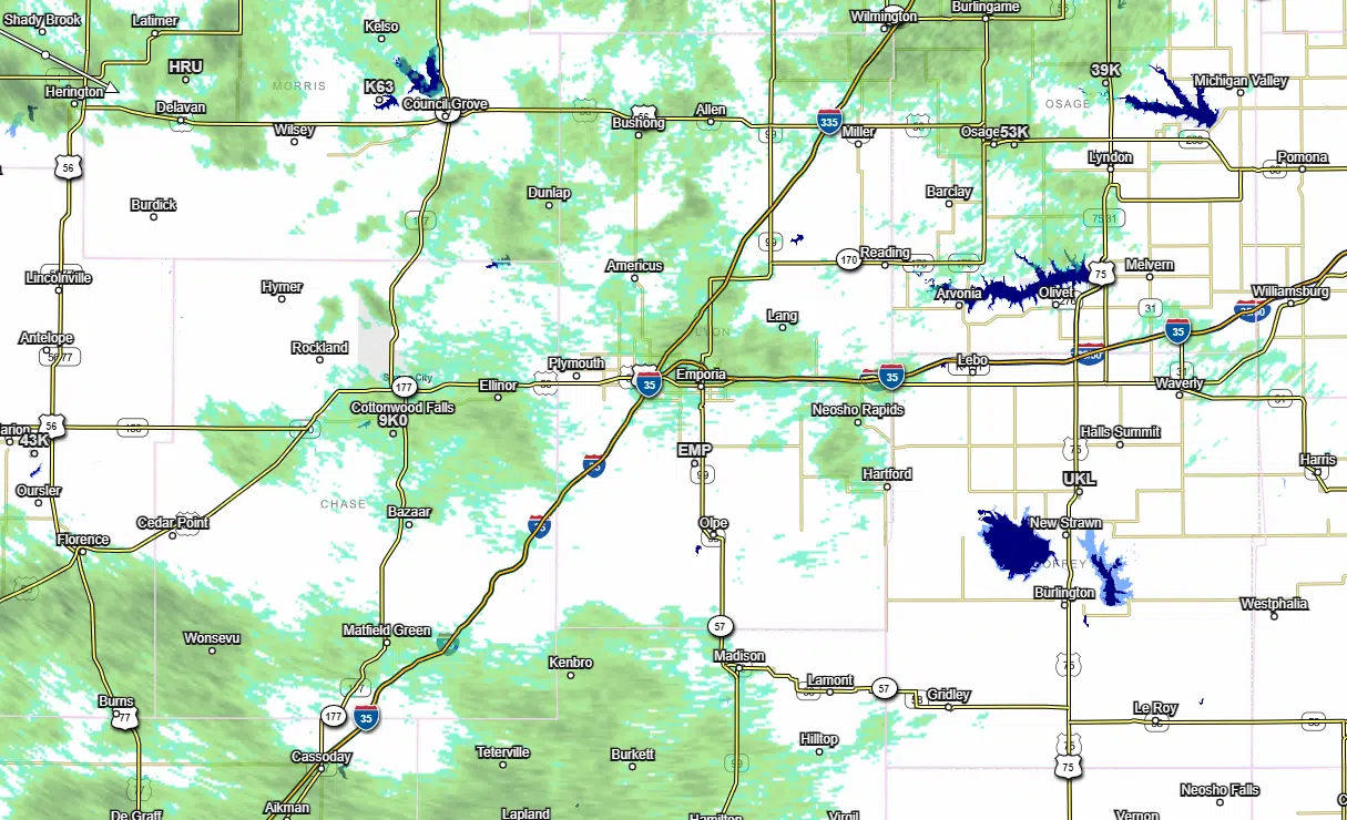
Scattered showers and isolated thunderstorms are expected into Monday evening.
Showers and sprinkles began Sunday night and have continued periodically since then as activity moves almost due east across the state.
While there is a good chance of rainfall, there is not a good chance of even moderate rain. In fact, the National Weather Service is expecting 0.25 inches at most areawide. The last time the KVOE studios had even that much rainfall was Aug. 25, when we received 0.25 inches.
More chances of showers are in the forecast for Thursday and Friday, but those are low-end chances.
The rain comes as drought conditions gradually worsen areawide, and the anticipated rainfall will likely do nothing to stop that trend this week. Extreme to exceptional drought now covers areas along and south of a line from Eskridge to Emporia to Neosho Rapids to New Strawn, with severe to moderate drought north of that line. Lyon and most surrounding counties are in a drought emergency as announced by Kansas Governor Laura Kelly last month. Chase County residents served by Public Wholesale Water District 26, including Cottonwood Falls, Strong City and Chase County Rural Water District 1, are in a water warning and the county is in a nearly-total burn ban until further notice.
If you have rain totals, message the Bluestem Farm and Ranch text line at 620-342-5863.


