Monday’s severe weather setup didn’t lead to a lot of actual severe weather areawide, but the National Weather Service says there were actually two brief tornado touchdowns.
Warning Coordination Meteorologist Chad Omitt says there were some reports of damage in Coffey County that didn’t resemble straight-line winds.
After a damage survey, the Weather Service says the first touchdown happened about five miles south of Burlington. The tornado was only on the ground for about a minute and for less than two miles. The tornado was also only about 40 yards wide at its peak. Estimated peak winds of 80 mph led to an EF-0 rating.
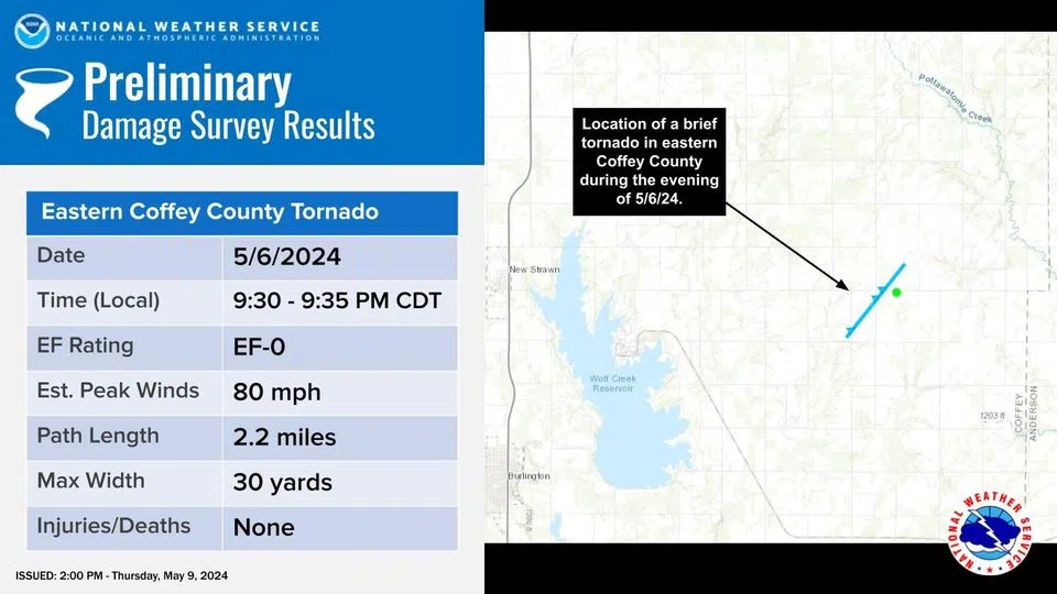
About eight minutes after the first tornado touched down, there was also an EF-0 touchdown in east Coffey County, about five miles east of the Wolf Creek nuclear plant. The tornado was on the ground for about five minutes, with a path length of just over two miles and a path width of 30 yards. This tornado also had peak winds of 80 mph.
Severe-level straight-line winds were reported near LeRoy, Fall River and Severy on Monday night, with gusts as high as 60-70 mph.
Area counties were in an enhanced-to-moderate all-hazards severe weather risk Monday.


