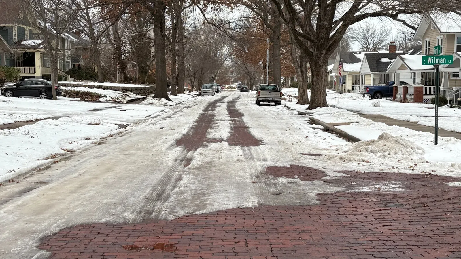
Residential streets are in a range of conditions with melting now unlikely until the middle of next week, and in a lot of cases it depends on the block.
Side streets range from largely — not completely — clear to a solid snowpack. In between, many streets have wagon-style ruts where traffic has been the heaviest.
Public Works crews spent Wednesday through Friday trying to break the snowpack or spread traction and melting materials as a way to help residential travel after Emporians got 0.25-0.50 inches of ice and up to 8 inches of snow as part of two winter weather episodes between Jan. 4-10. City Manager Trey Cocking says crews will spot-treat the city’s major arterials if needed this weekend. Department heads will also meet Tuesday to finalize treatment or clearing plans for the rest of the week.
After high temperatures in the mid-40s Thursday and upper 40s Friday, temperatures will be nowhere close to those levels the next few days.
*Peak daytime temperatures will be in the low 20s Saturday with wind chills in the single digits. Air temperatures Saturday night will b ein the upper single digits with wind chills approaching -10.
*Sunday’s air temperature will be in the mid-teens with wind chills close to zero all day.
*Monday will have highs in the upper teens with a chance of afternoon snowfall. Up to an inch is possible areawide. Monday night’s overnight low will be around zero with wind chills around -5 at times.
*High temperatures may not get above freezing until Wednesday. The current forecast calls for highs close to 40 degrees that day.
Stay with KVOE, KVOE.com and KVOE social media for updates.


