


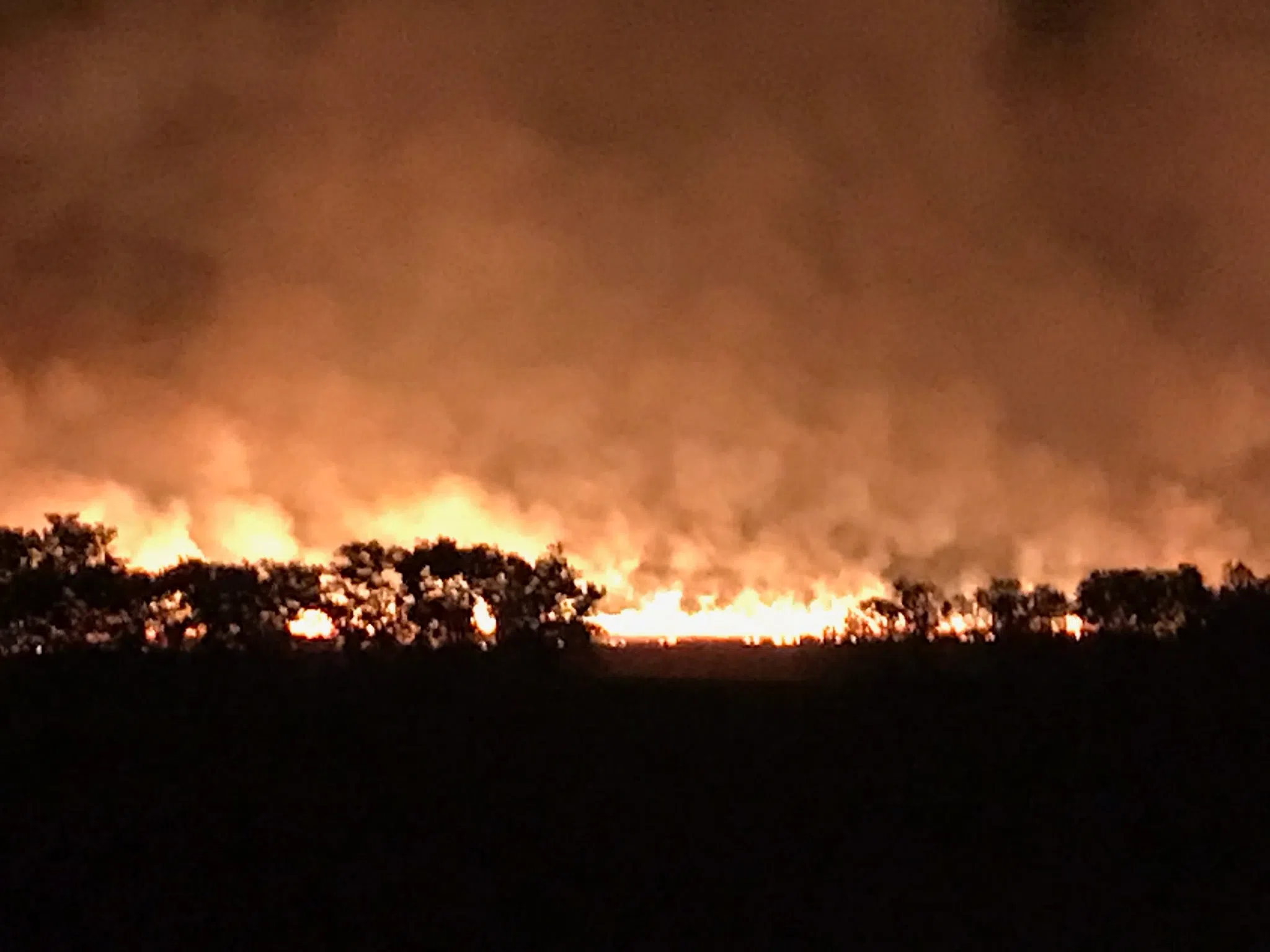
As grasses continue to dry out and emerge from stubborn snowfall in place for six weeks or longer, the fire danger will be high — or higher — before rain chances develop Sunday afternoon.
And the Flint Hills Smoke Management Tool is set to activate.
The Kansas Department of Health and Environment plans to activate the Smoke Management Tool on Saturday. The tool is available online at ksfire.org and includes computer models that help landowners, city and county administrators and others plan for possible smoke direction and air quality impacts.
The website also has information about air quality, education about fire management practices, health resources and state regulations — including the annual April burn restrictions, which allow for controlled pasture burns, ceremonial fires and grilling but ban controlled burns of debris piles, crop residue and construction waste.
Last year, almost 1.4 million acres of grassland were burned across the Flint Hills of Kansas and Oklahoma. Lyon County had over 84,000 acres burned last year, the equivalent of over 130 square miles of property.
2024 acreage burned by area county
*Lyon County: 84,913 acres burned
*Chase County: 101,423
*Coffey County: 23,012
*Greenwood County: 89,885
*Morris County: 74,952
*Osage County: 29,978
*Wabaunsee County: 126,103


