


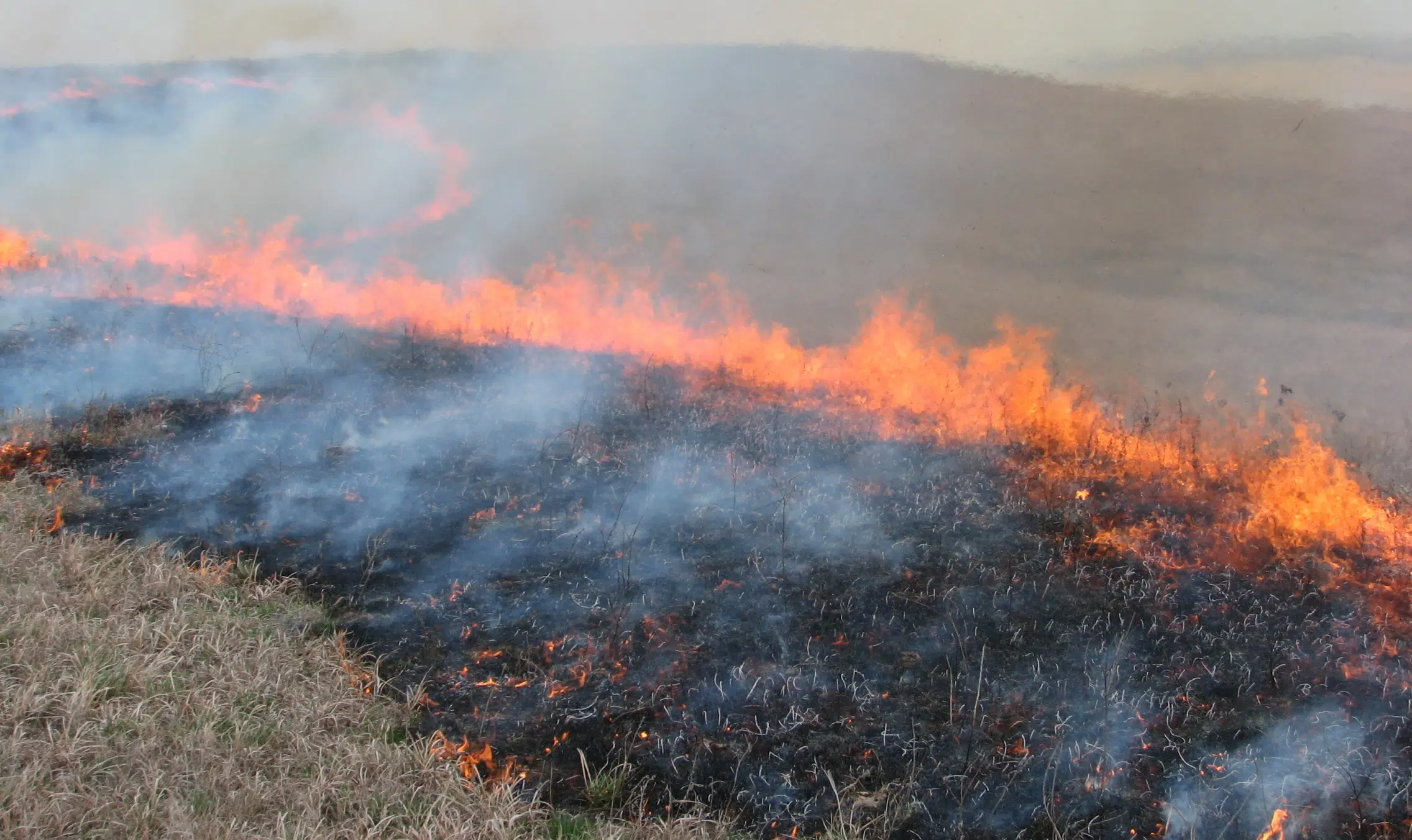
Emporia and Olpe fire crews battled a grass fire south of Emporia late Thursday afternoon.
Fire crews were toned out to the 1249 Road J, just over 6 miles south of Emporia, just before 4:30 pm after a brush pile fire became out of control according to Battalion Chief Eron Steinlage. The fire quickly spread into some nearby tinder and scorched about 2 acres before crews got it under control roughly an hour after arriving on scene.
The fire did not endanger any structures and no injuries were reported. Local firefighters are anticipating a heavy workload Friday with “catastrophic” fire danger in place across the state per the National Weather Service.
Red Flag Warnings are in place for the entire KVOE Listening Area from 10 am to 8 pm Friday meaning automatic burn bans are in place for all affected counties. Several wind advisories are also in place across the area with a high wind watch affecting Lyon, Coffey and Osage counties and a high wind warning in affect for Greenwood County both from 10 am to 8 pm.
Morris and Wabaunsee counties are in a wind advisory from noon to 7 pm Friday. Kansas Governor Laura Kelly has also issued a state of disaster declaration for the entire state in anticipation of the fire danger Friday.
Stay with KVOE, KVOE.com and KVOE social media for weather updates as needed.
7:23 pm Thursday:
Friday’s fire conducive forecast has led to a state of disaster declaration at the state level.
Kansas Governor Laura Kelly issued the declaration Thursday due to the “catastrophic fire danger” forecasted throughout the day Friday. Current forecasts are calling for a combination of high winds, between 25-35 mph steadily throughout the day with possible gusts of 60 mph, as well as extremely dry air, highs in the 70s and dry grasses to set up highly conducive conditions for wide spread wild fires.
Locally, Red Flag Warnings cover Lyon, Coffey, Osage, Morris, and Wabaunsee counties from 10 a.m. to 8 p.m. Friday meaning automatic burn bans for all affected counties. Chase and Greenwood counties remain in a fire weather watch from 10 am to 8 pm Friday with Chase County already announcing a burn ban for Thursday and Friday due to the conditions.
Be sure to stay with KVOE, KVOE.com and KVOE social media for more weather updates as they develop.
2:30 pm Thursday: WEATHER UPDATE: Red Flag Warnings now in place for Lyon and most surrounding counties Friday
As expected, the “catastrophic fire danger” forecasted for Friday has led to Red Flag Warnings being issued throughout much of the KVOE listening area.
Warnings cover Lyon, Coffey, Osage, Morris, and Wabaunsee counties from 10 a.m. to 8 p.m. Friday, replacing a fire weather watch. Chase and Greenwood counties remain in the fire weather watch through the same time frame, with Chase County already announcing a burn ban for Thursday and Friday due to the conditions.
Red flag warnings trigger automatic burn bans in all affected area counties.
Current forecasts are calling for a combination of high winds, between 25-35 mph steadily throughout the day with possible gusts of 60 mph, as well as extremely dry air, highs in the 70s and dry grasses to set up what the National Weather Service is calling “catastrophic” fire danger, the worst on its scale. On top of the Red Flag Warnings, a high wind watch is also in place for Lyon, Coffey, Greenwood and Osage counties from 10 am to 8 pm Friday with a wind advisory affecting Morris and Wabaunsee counties from noon to 7 pm Friday.
The fire conducive conditions are a product of an incoming storm system that could bring some severe storm activity to areas along the Mississippi River Valley, however, NWS does not expect any severe activity locally. Be sure to stay with KVOE, KVOE.com and KVOE social media for more weather updates as they develop.
7:16 am Thursday: Fire weather, high wind watches posted for area counties Friday
Fire weather and high wind watches have been announced as a powerful storm system approaches the area.
National Weather Service meteorologist Nathan Griesemer says Lyon, Coffey, Greenwood and Osage counties are in high wind watches from 10 am to 8 pm Friday.
With extremely dry air combining with the wind speeds, highs in the 70s and already dry grasses, all area counties are also in fire weather watches from 10 am to 8 pm. Fire weather watches usually get upgraded to red flag warnings, signaling critical fire danger. Red flag warnings also trigger automatic burn bans in all affected area counties, so Griesemer reminds residents to be extremely careful with any materials that can spark a fire. The National Weather Service has also posted a wildfire safety graphic that includes guidance to heed evacuation alerts if those are announced.
Chase County has announced a burn ban for both Thursday and Friday due to Friday’s fire risk.
This incoming storm system could well bring a wide swath of severe weather along the Mississippi River valley. Griesemer does not expect any severe weather here.
Stay with KVOE, KVOE.com and KVOE social media for updates.


