


There will apparently be a break in our elevated fire danger Sunday. The break will not last long.
The National Weather Service has announced fire weather watches for all area counties Monday. For Lyon and most surrounding counties, the watch goes from 12-8 pm. For the exceptions, Chase and Greenwood counties, the watch goes from 12-10 pm.
High temperatures will be in the mid- to upper 70s, with a lot of dried vegetation, relative humidity levels at or below 25 percent and northwesterly winds anywhere from 15-35 mph.
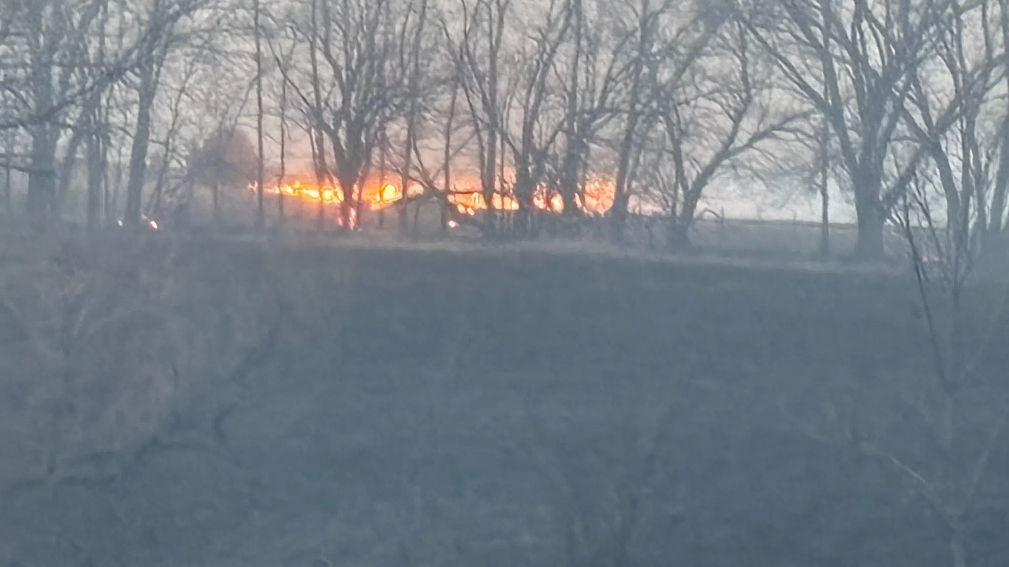
This will follow a high to very high fire danger Saturday and the extreme to catastrophic fire danger that led to numerous damaging grass fires areawide Friday. Tuesday could also see an elevated fire danger with highs in the 80s, dried grasses and southerly winds above 30 mph Tuesday before a chance of storms Tuesday night and a possible rain-snow mix early Wednesday.
Stay with KVOE, KVOE.com and KVOE social media for updates.


