


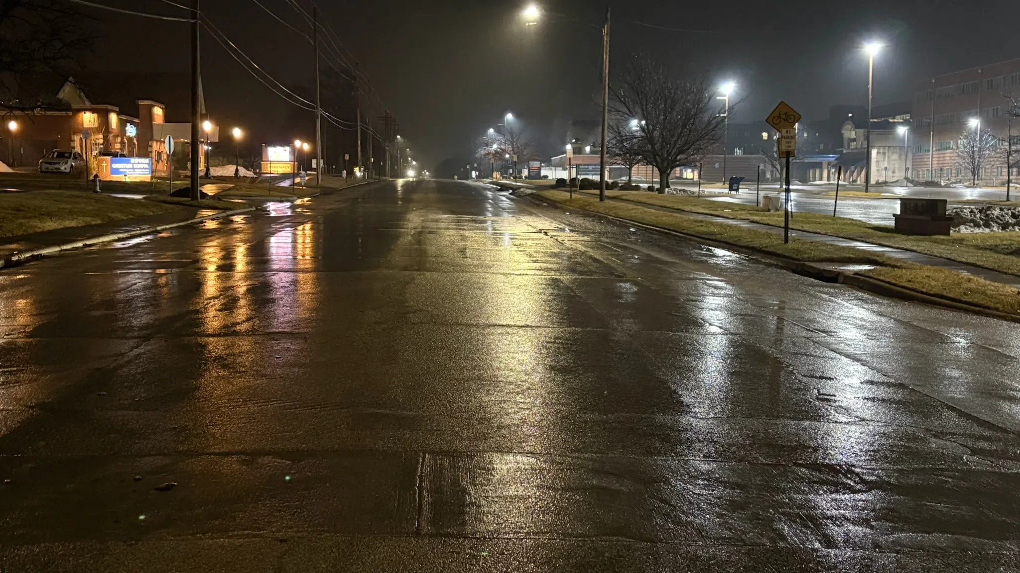
Chances for severe weather went unrealized Monday evening into Tuesday. So did the chance of heavy rain.
Two rounds of thunderstorms developed as expected. The first round brought severe weather to north-central Kansas and stayed well north of the KVOE listening area. The second round of storms developed close to Emporia as a cold front came across the area, bringing rain and lightning to the area. Current rain totals:
*KVOE studios: 0.05 inches
*Emporia Municipal Airport: 0.06 inches
*10th and Weaver: 0.01 inches
*Allen: 0.10 inches
*Kansas Highway 99 at Lyon-Greenwood county line: 0.40 inches
*Thorndale: 0.20 inches
Chances of showers and storms remain in the forecast through Thursday afternoon and return Saturday night. At this time, severe weather is not expected through the upcoming weekend.
Before the storms developed elsewhere in Kansas, the Lyon County Highway Department reopened three road segments after heavy rain late last week:
*Road 150 from Kansas Highway 99 to Road J
*Road J between Roads 140 and 150
*Road K between Roads 140 and 150
If you have rain totals from Monday night, call KVOE at 620-342-1400, message the Bluestem Farm and Ranch text line at 620-342-5863 or email kvoe@kvoe.com.


