


A lengthy line of thunderstorms produced isolated severe weather late Sunday afternoon.
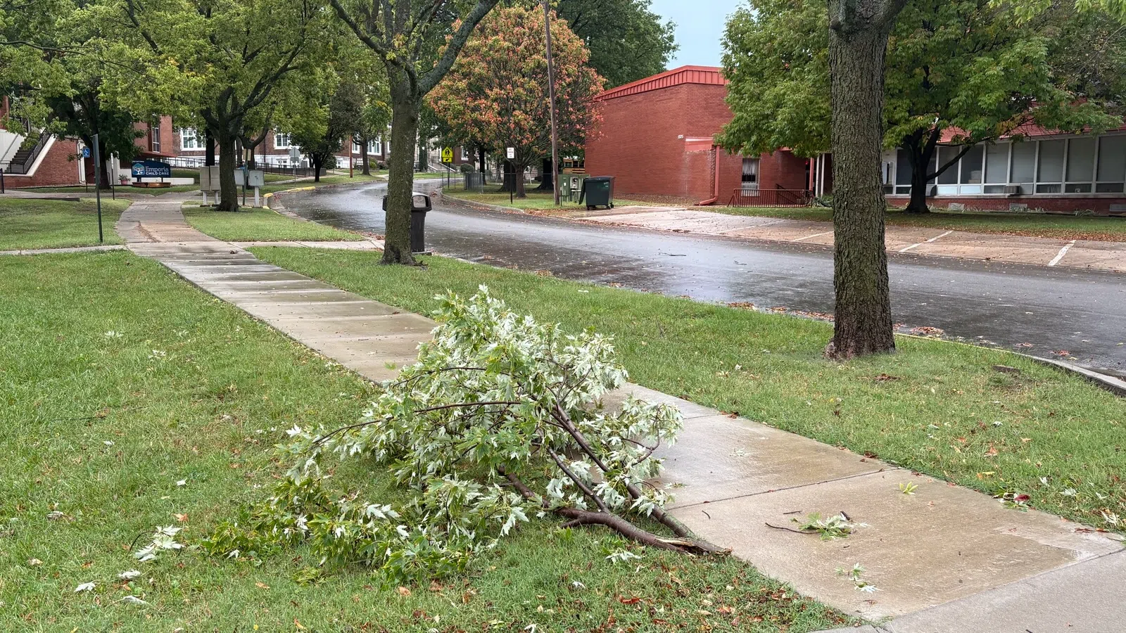
A north-moving cluster triggered a severe thunderstorm warning for Lyon County along and south of US Highway 56 before generating 59-mph wind gusts near the Emporia Municipal Airport.
Brief heavy rain fell over a wider area.
*KVOE studios: 0.80 inches
*Emporia Municipal Airport: 1.14 inches
*Coronado Avenue: 0.87 inches
*Country Club Heights: 0.60 inches
*Deerbrook Addition: 0.80 inches
*1000 block Garfield: 0.75 inches
*1100 block Constitution: 0.85 inches
*10th and Weaver: 0.85 inches
*South and Sylvan: 0.80 inches
*Allen: 0.40 inches
*Americus: 0.30 inches
*1.5 miles northeast of Bethel Corner: 0.72 inches
*3 miles east of Emporia Municipal Airport: 1.03 inches
*3.5 miles west of Emporia Golf Course: 1.95 inches
*6 miles north of Emporia city limits (The Orchard): 0.80 inches
*Eureka Milliken Airport: 0.91 inches
*Between Hartford and Olpe: 1 inch
*Kansas Highway 99 at Lyon-Greenwood county line: 1 inch
*5 miles east of Madison: 0.70 inches
*6 miles west of Madison: 1.75 inches
*Just east of Madison: 1.10 inches
*Neosho Rapids: 1.10 inches
*Olpe Blacksmith Shop: 1.50 inches
*2 miles southwest of Olpe: 1.80 inches
*5 miles southwest of Olpe: 1.30 inches
*Reading: 1.25 inches
Several power outages were reported in and near Emporia due to storms. Over 40 Evergy customers were offline in Emporia, with over 170 losing power between Eureka and Hamilton. Less than 10 customers of 4 Rivers lost power in Lyon County. All outages from Sunday have been restored.
As storms were moving across Lyon County, Emporia Fire responded to two fire-related calls, a reported structure fire in the 1300 block of Exchange and an alarm in the 1300 block of Mechanic. Firefighters say there was nothing of note at either location.
If you have wind reports, hail reports or rain totals, message the KVOE Bluestem Farm and Ranch text line at 620-342-5863.


