


Cold, blustery conditions are here for the short term, replacing four straight days of record late-year warmth.
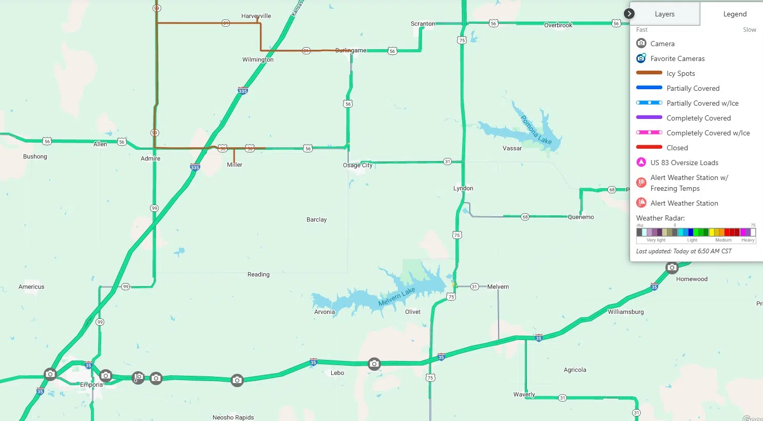
After temperatures near 70 shortly before midnight and temperatures in the mid-60s as late as 6 am, a powerful cold front has driven air temperatures down to the low 20s before sunset and the upper teens overnight. Wind gusts between 40-50 mph for much of the afternoon have pushed wind chills to zero and also caused some blowing snow conditions after a dusting of snow fell Sunday afternoon. Icy spots have been on US Highway 56 from Allen east to the Lyon-Osage county line and on Kansas Highway 99 from US-56 north to Westmoreland since late Sunday afternoon.
Monday will have highs in the low 30s and wind chills in the teens, thanks to northwest winds up to 30 mph. High temperatures will be in the 40s and 50s for the rest of the week, including New Year’s Day. No precipitation is expected this week.
 (1)")


")