


We have enjoyed a brief break from showers, thunderstorms and severe weather Friday. That changes Saturday — and very early in the day.
The National Weather Service is expecting a period of thunderstorms, including severe weather, between midnight and sunrise — with another round by late afternoon through much of the evening. Meteorologist Jenifer Prieto says the atmosphere, which has been active with severe storms and heavy rainfall Monday and Wednesday nights, will recharge soon.
Prieto says the second round could involve wind gusts between 70-80 mph, hail to the size of golf balls or eggs, isolated tornadoes and very heavy rainfall.
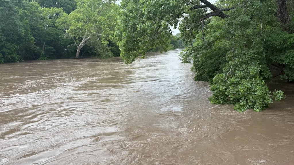
With upward of 2-4 inches of rainfall now in the forecast, the Weather Service has issued a flood watch from 1 am Saturday to 7 am Sunday. Lyon, Coffey, Greenwood, Morris, Osage and Wabaunsee counties are in that watch.
There are numerous community events planned for Saturday, so be sure to stay with KVOE, KVOE.com and KVOE social media for updates and make sure you have several different ways to get severe weather information.
 (1)")


")