


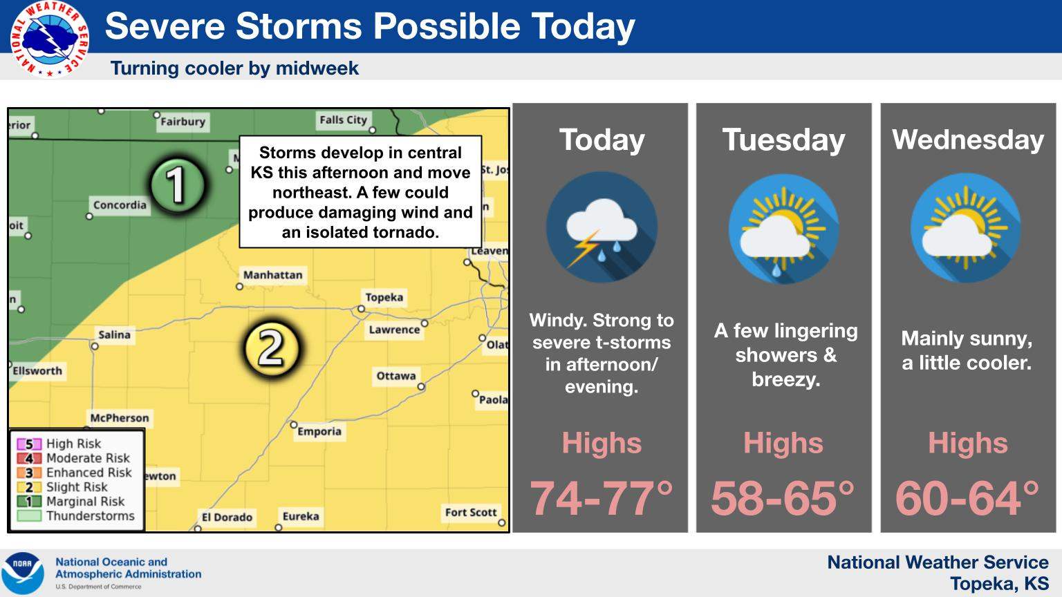
Scattered showers and storms are expected to be a constant on Monday; however, the risk for severe activity will increase as the day progresses.
Following chances of showers and non-severe storms in the morning to early afternoon hours, the severe risk will ratchet up in the late afternoon to evening hours. Currently, the entire KVOE listening area is under a slight severe weather risk, with the main concerns being damaging winds between 60 and 70 mph and a possibility of tornadoes, with the highest risk coming for central, northeast and far eastern Kansas according to the National Weather Service.
The initial round of non-severe showers are expected to move through the area in the noon hour and continue building into the late afternoon, with a more robust line beginning to build around 5 pm. Wind will become the primary threat for the area as the afternoon transitions to the evening hours and storms progress to the northeast out of the area.
KVOE and Weatherology will have weather updates throughout the day on KVOE, KVOE.com and KVOE social media.