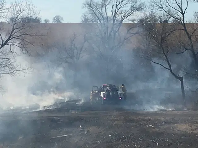
In addition to a high wind watch issued throughout the listening area to begin the workweek, a fire weather watch has now been issued by the National Weather Service.
The watch goes from Wednesday afternoon through the evening hours affecting Chase and Greenwood Counties. As KVOE has recently reported, conditions over the next 48 hours will be ripe for fire activity with blustery winds, low humidity and a thick, dry fuel load.
This comes on top of a high wind watch affecting the entire listening area from 9 am to 9pm Wednesday.
Tuesday will see southerly wind gusts as high as 30 mph. Wednesday, however, could see wind gusts as high as 65 mph. The National Weather Service says there could be a lot of downed tree limbs and power outages, and it says high-profile vehicles will have trouble through the warning period. There is also the fire danger, which likely will spike to extreme or critical Wednesday. Red flag warnings are possible, meaning outdoor burn bans for all area counties if those are activated.
Stay with KVOE, KVOE.com and KVOE social media for updates.
Monday: 8:15 am
Record high temperatures, blustery conditions and extremely high fire danger — it’s all in the forecast for Tuesday and Wednesday.
Tuesday’s current record high is 64 set back in 1975. That will likely fall with a projected high of 70. Wednesday’s record is currently 69 set in 2002. The forecast high is 78, which would be just short of the all-time December high set this past Dec. 2 at 79 degrees.
The record warmth will combine with increasingly windy conditions to step up the fire danger, which is already high thanks to low humidity and a thick, dry fuel load. Tuesday will see southerly wind gusts as high as 30 mph. Wednesday, however, could see wind gusts as high as 65 mph — above severe thunderstorm criteria — meaning a high wind watch areawide from 9 am to 9 pm. The National Weather Service says there could be a lot of downed tree limbs and power outages, and it says high-profile vehicles will have trouble through the warning period. There is also the fire danger, which likely will spike to extreme or critical Wednesday. Red flag warnings are possible, meaning outdoor burn bans for all area counties if those are activated.
Stay with KVOE, KVOE.com and KVOE social media for updates.


