


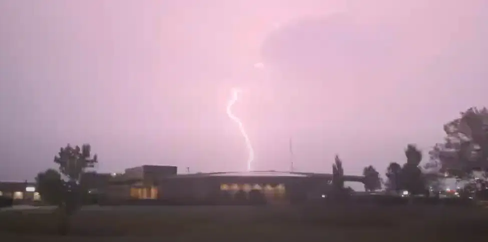
Rain still appears highly likely and thunderstorms are possible between midnight and noon Tuesday, but any risk of severe weather has been shifted well out of the KVOE listening area for that time period.
Rain and embedded storms could bring gusty winds and small hail to the area Tuesday morning. There had been a marginal risk for borderline high winds west of Kansas Highway 177 in Sunday’s projections for early Tuesday, but that marginal risk area is now essentially along and west of Interstate 135 in central Kansas.
Rainfall totals could range between 0.25 and 0.75 inches areawide after light rain events early Thursday and early Saturday. Any rain would be welcomed as the KVOE listening area still contends with moderate to extreme drought north to south — and with some areas of Kansas 8-12 inches below their normal yearly totals to date.
We’ll have updates on KVOE, KVOE.com and KVOE social media.
 (1)")


")