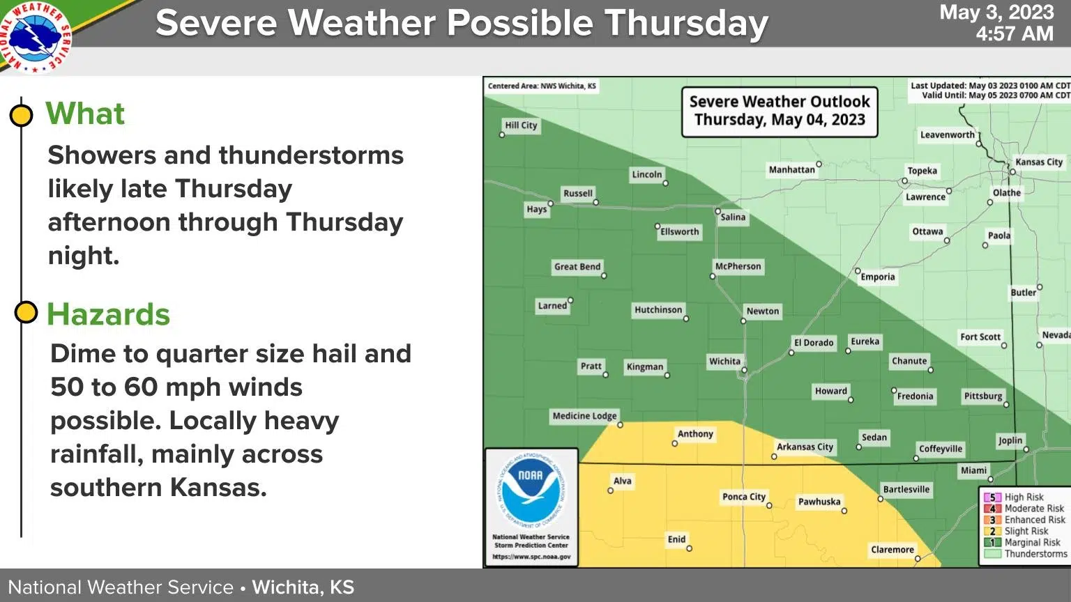
Storm activity is possible across the KVOE listening area beginning before sunrise Thursday, and a stronger storm can’t be ruled out for parts of the area later in the evening.
The Storm Prediction Center has a marginal severe weather risk for areas along and west of a line from Herington to just west of Emporia to near LeRoy. The National Weather Service says large hail would be the main risk by late Thursday night into early Friday. Gusty, sub-severe winds and heavy rainfall are also possible.
This begins an unsettled weather pattern for the Flint Hills, with slight to moderate thunderstorm chances essentially into the middle of next week. Aside from Thursday night, the chances of organized severe weather are currently too unpredictable for the SPC to issue any risk areas through May 11.
We’ll keep you posted on KVOE, KVOE.com and KVOE social media.


