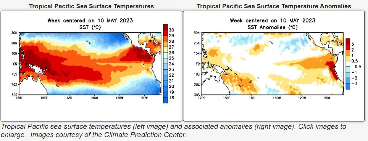
With national conversations ramping up on the potential impacts of El Nino on weather conditions, most experts say while there are several possibilities likely impacts are far from set in stone.
Currently, the nation is still in the transition period between La Nina, cooler than normal surface temperatures for the central Pacific, to El Nino. National Weather Service Meteorologist Bill Gargan explains that El Nino is the warming of Pacific waters that push east and south to the Mexican and South American coastlines.
Gargan says the southern jet stream could lead to a “wetter pattern” for the southwestern portion of the United States while the northern stream could see warmer conditions for portions of the midwest including southwest Kansas. However; Gargan, like many others, says it is still far too early to know for sure.
That being said, Gargan tells KVOE News both potential conditions could lead to varying impacts on the agricultural community, specifically dryer conditions. With drought being noted in the KVOE listening area for the past several months, Gargan says dryer temperatures could have an adverse effect on seasonal wheat crops.
Furthermore, he says it is unlikely wetter conditions would have any significant impact on crops. For more information visit the National Weather Service website Weather.gov.


