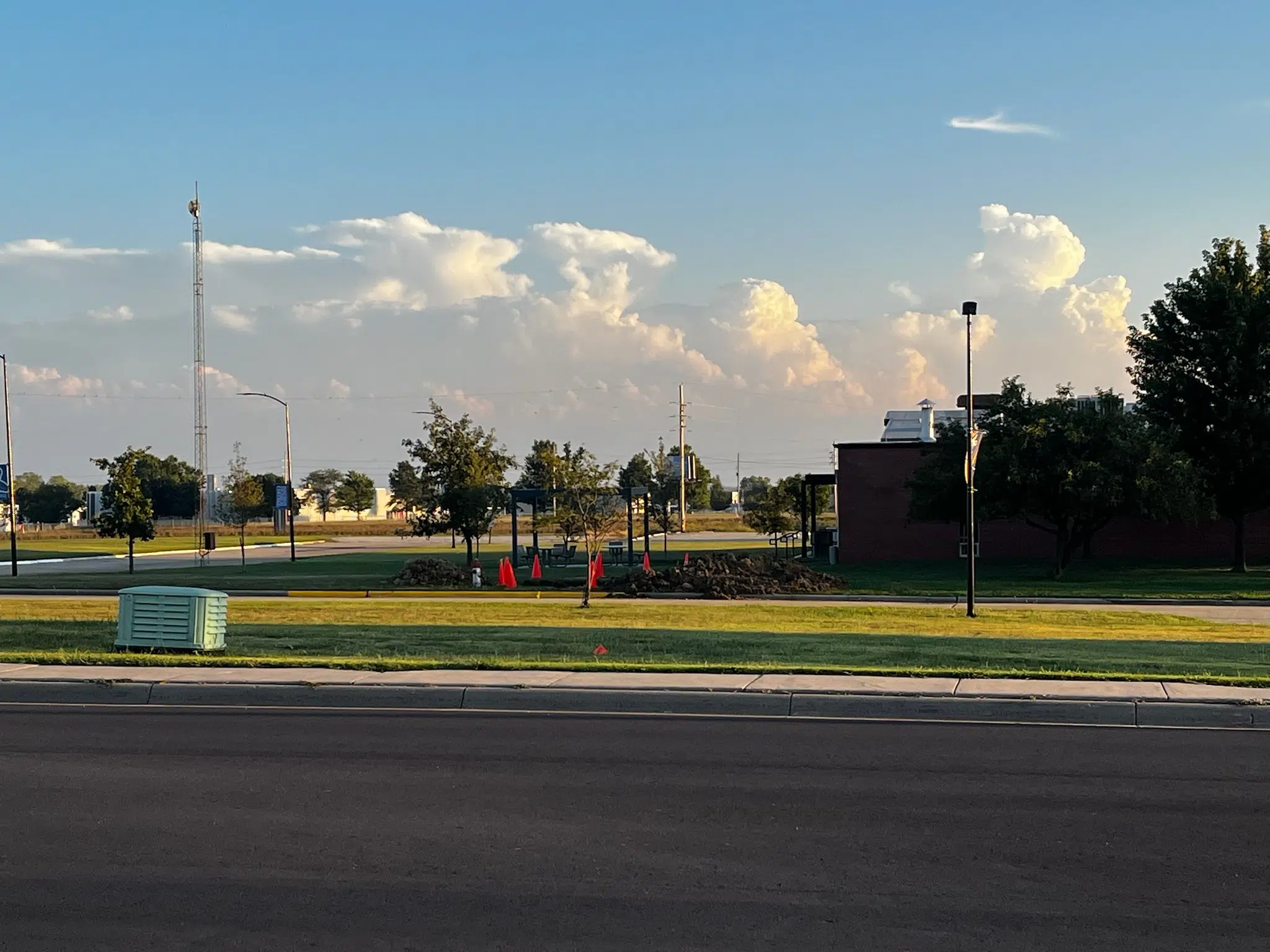
Concerns about severe weather did not materialize across the KVOE listening area Saturday — for the simple fact that no storms developed north of US Highway 54.
Area counties were in a marginal to slight severe weather risk all day, but storms didn’t fire up until a cold front pushed well south and east of KVOE’s coverage area.
This follows 2-4 inches of rainfall for area locations. Unfortunately, with over half the area in extreme or exceptional drought, no more rainfall is expected at any time this upcoming week.
7:15 am Saturday: Lighter storms Saturday morning setting stage for more severe activity Saturday afternoon and evening
Scattered showers and storms Saturday morning may pave the way for severe storm activity in the late afternoon to early evening hours across the KVOE listening area.
National Weather Service Meteorologist Jenifer Prieto.
A slight risk for severe activity exists across the majority of the KVOE listening area, specifically for Lyon and most surrounding counties. Chase County is in a marginal risk for severe activity with enhanced risks further to the east of the listening area.
Prieto expects the greatest chance for storms to develop is anytime after 4 pm. The main hazards include large hail and high winds and heavy rainfall which could lead to flash flooding.
Chances for tornadic activity are low, but cannot be ruled out completely at this time. Stay with KVOE, KVOE.com and KVOE social media for more weather updates as they become available.


