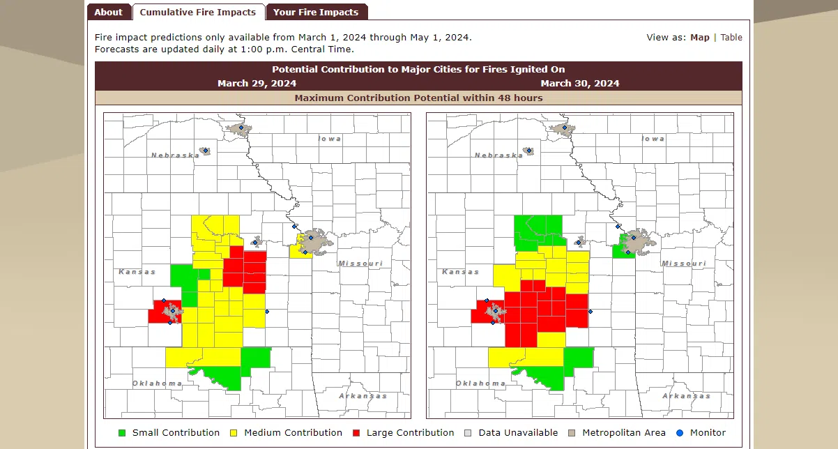
With annual controlled burn limits beginning next week across the Flint Hills, a key part of the Kansas Flint Hills Smoke Management Plan’s online presence is not fully up to speed.
The Smoke Management Tool, the online location for landowners to see smoke’s potential reach from grass fire activity, has been partially or completely down all month due to a network outage. The cumulative fire impacts tab just came back online Thursday, but the individual impacts tab remains unavailable.
The Kansas Department of Health and Environment has been posting smoke concern summaries on the Kansas Flint Hills Smoke Management Facebook page.
The Smoke Management Plan allows for controlled pasture burns, ceremonial fires and grilling, but debris piles, crop residue and construction waste cannot be burned at all in April.
Meanwhile, mid-February through March 20 had over 130,000 acres burned across the entire Flint Hills region, which includes Lyon and all surrounding counties, 10 other counties in Kansas and four more in Oklahoma. For area counties, Greenwood County has seen the most burn activity with almost 11,000 acres burned. Lyon County had over 5,000 acres burned as of the most recent data.


