


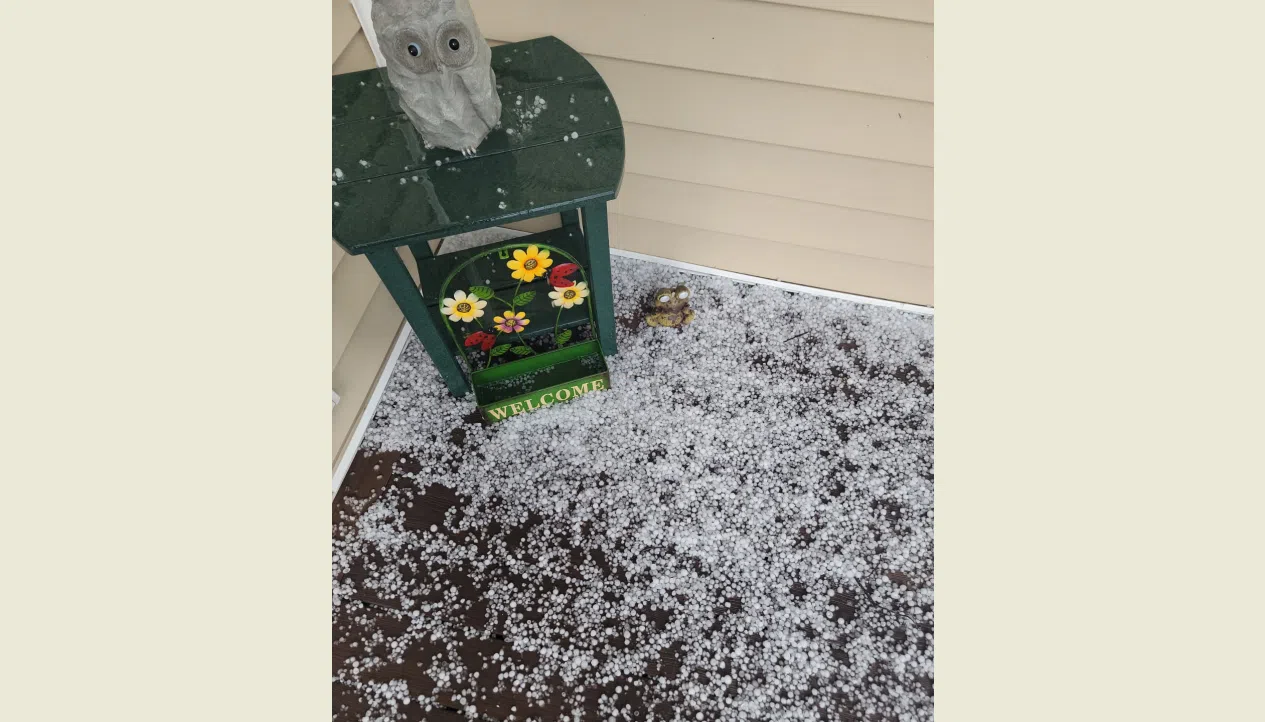
Large hail and heavy rain were features of thunderstorm activity Wednesday evening.
Much of Osage County was under a flash flood warning after 2-plus inches of rainfall. At this time, the only confirmed flood zone was Kansas Highway 31 near the Osage City Airport, which had to be closed for much of the evening due to floodwaters. The highway is now open.
The immediate Osage City area also had to deal with large hail as quarter- to half-dollar-sized hail was reported just west of the city limits.
Non-severe hail fell in Lyon County, with nickel-sized hail near the Bethel Corner junction of Kansas Highway 99 and Road 220.
Rain totals are largely pending. The KVOE studios got 0.40 inches of rain from Wednesday evening after 0.05 inches Tuesday night into Wednesday morning. Other totals:
*10th and Weaver: 0.95 inches
*1100 block Constitution: 0.90 inches
*Osage City: 2.49 inches
*Reading: 1 inch
Parts of the KVOE listening area will be under a low-end severe weather risk for the third straight day. The Storm Prediction Center has a marginal risk area for half-dollar-sized hail and 60 mph wind along and west of a line from Maple Hill to Osage City to Iola by afternoon.
KVOE and KVOE.com will have updates, not only on the severe weather chances for Thursday but also for possible flooding as our unsettled weather pattern continues into the middle of next week. If you have rain totals or storm reports from Wednesday, call KVOE at 620-342-1400, message the Bluestem Farm and Ranch Supply text line at 620-342-5863 or email kvoe@kvoe.com.


