


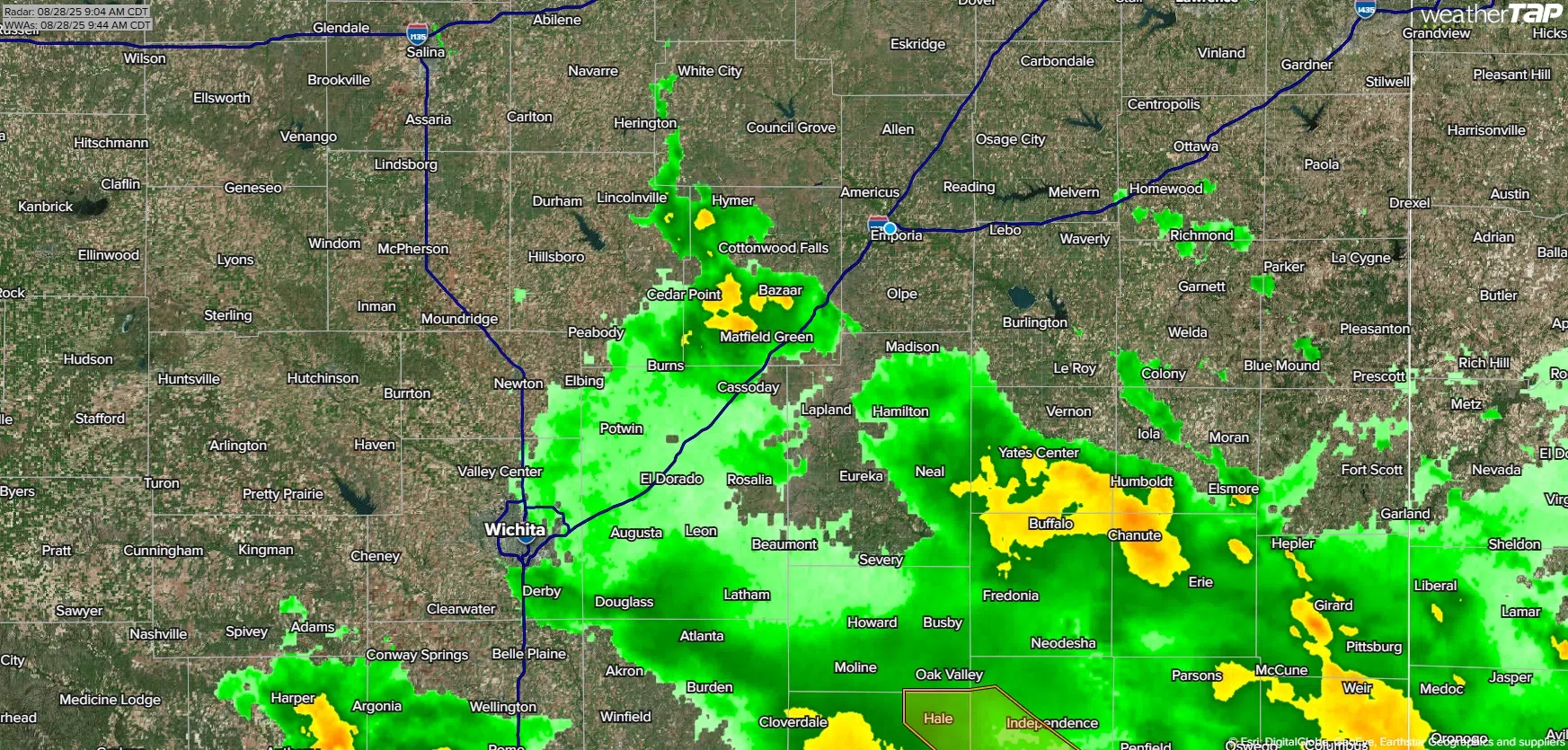
Rainfall is taking a break across the KVOE listening area.
Concerns about potential flooding shifted south as the week progressed, and so far there have been no reports of flooding in any area county. Flood warnings for the Cottonwood River, both at Plymouth and Cottonwood Falls, were canceled before they officially started.
Rain totals have varied widely, depending on the location:
*KVOE studios: 0.25 inches
*Emporia Municipal Airport: 0.43 inches
*800 block Lawrence: 0.20 inches
*1100 block Constitution: 0.25 inches
*10th and Weaver: 0.15 inches
*Country Club Heights: 0.19 inches
*Deerbrook Addition: 0.30 inches
*Allen: Under 0.10 inches
*Americus: 0.30 inches
*Camp Wood YMCA: 1.75 inches
*Eureka Milliken Airport: 0.99 inches
*7 miles northwest of Gridley: 0.60 inches
*Kansas Highway 99 at Lyon-Greenwood county line: 0.40 inches
*Lamont: 0.70 inches
*Neosho Rapids: 0.20 inches
*Olpe: 0.50 inches
*2 miles southwest of Olpe: 1 inch
Rain is not expected until a slight and persistent chance of showers and storms from Saturday night through Monday night. High temperatures for the official Labor Day weekend will be around 80 degrees all three days.
KVOE and KVOE.com will have updates. If you have rain totals, message the KVOE Bluestem Farm and Ranch Supply text line at 620-342-5863.
6:15 am Thursday: Announced flood warnings continue for Cottonwood at Plymouth and Cottonwood Falls, but flood risk shifts south
One flood alert is officially in effect for parts of the KVOE listening area after being announced Wednesday. Two other alerts announced Wednesday are set to begin soon.
Greenwood County is in a flood watch until 1 pm. Chase County, announced Wednesday as being under the flood watch, has been removed.
Also, the Cottonwood River has a flood warning at Plymouth from Thursday evening to late Friday evening. The gauge is set to go from 3.8 feet Thursday morning to 32.7 feet early Friday. If that forecast holds, the river would go below the 32-foot flood stage before noon Friday.
The Cottonwood at Cottonwood Falls is in a separate flood warning from late Thursday night to early Saturday. The river could climb to 9.4 feet Friday morning, just above flood stage of 9 feet, and then go below flood stage before noon Friday.
Not in a flood warning is the Cottonwood at Emporia, which is currently at 2.64 feet but is expected to go above the 20-foot flood stage early Friday morning and crest as high as 22.7 feet Friday evening before going below flood stage Saturday morning. Other area rivers are expected to stay within their banks.
The National Weather Service is tracking the prospects of 1-4 inches of rain by Thursday night, in general terms along and south of a line from Herington to Burlington and especially south and west of Emporia. This follows some lighter rain totals from Wednesday.
*KVOE studios: 0.25 inches
*Emporia Municipal Airport: 0.43 inches
*800 block Lawrence: 0.20 inches
*1100 block Constitution: 0.25 inches
*10th and Weaver: 0.15 inches
*Country Club Heights: 0.19 inches
*Allen: Under 0.10 inches
*Americus: 0.30 inches
*Eureka Milliken Airport: 0.99 inches
*7 miles northwest of Gridley: 0.60 inches
*Kansas Highway 99 at Lyon-Greenwood county line: 0.40 inches
*Lamont: 0.70 inches
*Neosho Rapids: 0.20 inches
*Olpe: 0.50 inches
*2 miles southwest of Olpe: 1 inch
KVOE and KVOE.com will have updates. If you have rain totals, message the KVOE Bluestem Farm and Ranch Supply text line at 620-342-5863.


