


Flood concerns have settled just a bit; however, severe storm activity remains a possibility through the evening hours Wednesday.
The National Weather Service has canceled a flood warning issued Tuesday for the Cottonwood River at Emporia, which was expected to go through late Wednesday evening. A slight severe weather risk still covers the entire area, however, through the evening hours with storms expected to develop between now and 6 pm and likely exit the area to the southeast between 9 pm and 10 pm.
The main hazards with any storms that develop will be large hail, possibly up to 2 inches in diameter, and damaging winds between 60 to 70 mph.
Stay with KVOE, KVOE.com and KVOE social media for more weather updates as they develop.
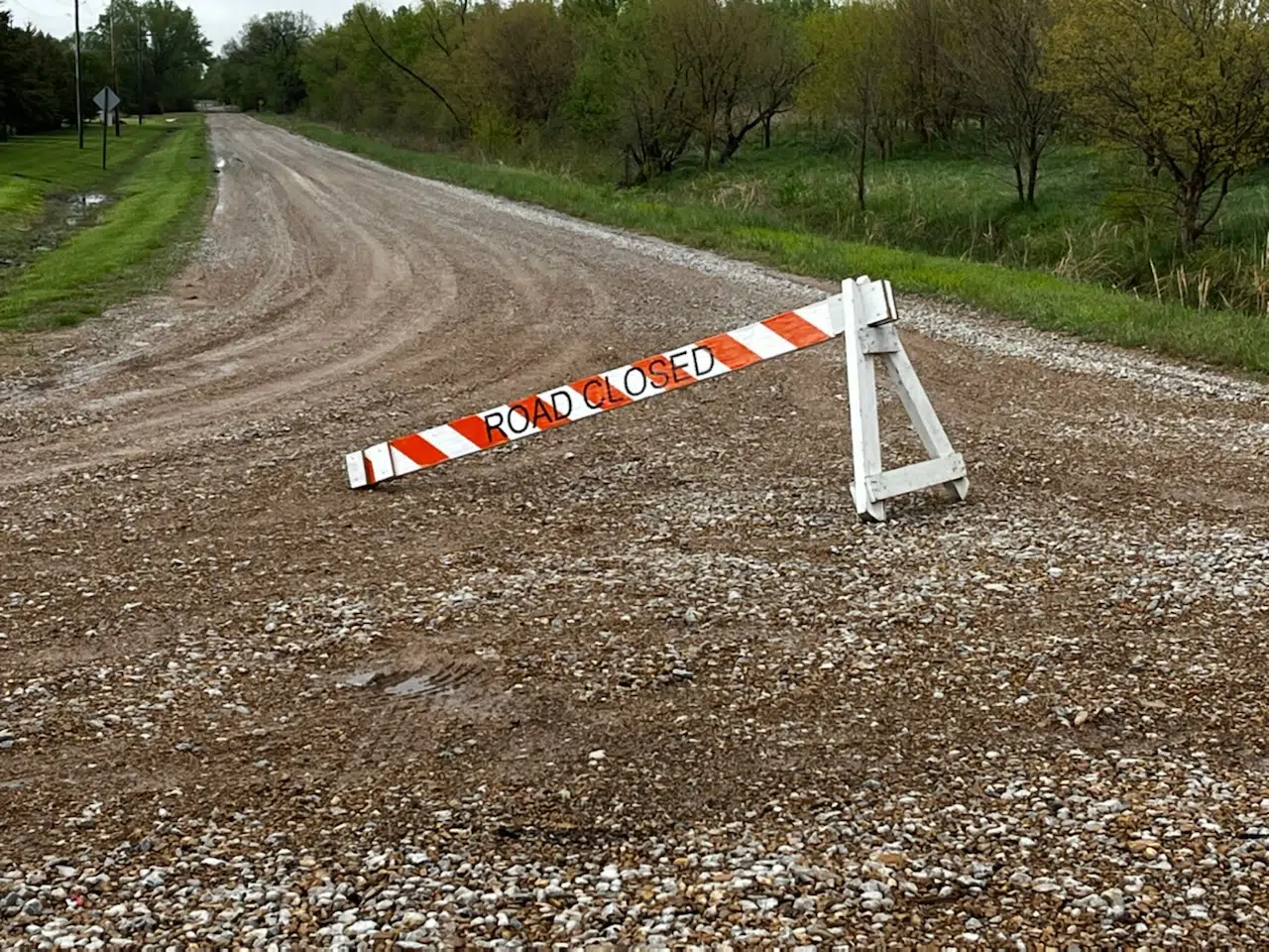
8:18 am Wednesday: Several roads closed near Emporia as minor flooding continues for Cottonwood at Emporia; slight severe weather risk still ahead
With severe weather a concern for late Wednesday afternoon and fog an issue through mid-morning, minor flooding has started near Emporia.
A flood warning continues for the Cottonwood River at Emporia until late Wednesday evening. The river went above the 20-foot flood stage just after midnight and and tentatively crested at 20.33 feet around 6 am. It should go below flood stage by noon Wednesday.
So far, a few roads have closed west of Emporia:
*500 block Road 150
*700 and 800 blocks Road 160
*1600 block Road G. This blockage has delayed plans to work on a creek crossing until water recedes and the road dries out. Work was set to begin Wednesday
*1600 block Road H
Meanwhile, there is a slight severe weather risk for late Wednesday afternoon through much of the evening. National Weather Service meteorologist Chelsea Picha says hail to the size of eggs and wind gusts up to 70 mph are the main concerns. Tornadoes are unlikely — and so is widespread flooding, although storms could drop up to an inch of additional rain after area residents got 1.5-4.5 inches of rain through the Labor Day weekend.
5:30 am Wednesday: Foggy start west of Emporia may set up stormy afternoon, evening areawide
There is a lot of weather in Wednesday’s forecast.
The day is starting with humid conditions, leading to a dense fog advisory for Chase County until 10 am. Visibility may be under a quarter-mile during the advisory period.
A slight severe weather risk sets up by late afternoon. Here’s National Weather Service meteorologist Chelsea Picha:
Picha says hail to the size of eggs and wind gusts up to 70 mph are the main concerns. Tornadoes are unlikely — and so is widespread flooding.
The flood risk is of note for two reasons: one is because area counties picked up anywhere from 1.5-4.5 inches of rain for the Labor Day weekend — and two, because the Cottonwood River at Emporia has been in a flood warning since Tuesday evening. The warning continues until late Wednesday evening. The river went above the 20-foot flood stage just after midnight and tentatively crested at 20.33 feet around 6 am before going back below flood stage by noon.
The Cottonwood got close to flood stage at Plymouth and Cottonwood Falls on Tuesday, but the river fell at both gauges before officially going into flood. Downstream, the Neosho at Neosho Rapids is currently at 17.58 feet, nearing flood stage of 22, but it should stay below flood stage.
Be sure to stay with KVOE, KVOE.com and KVOE social media for updates. If you have severe weather reports or rain totals, message the KVOE Bluestem Farm and Ranch Supply text line at 620-342-5863.
 (1)")


")