


There wasn’t much of a severe weather risk early Wednesday, and what little risk we had did not materialize.
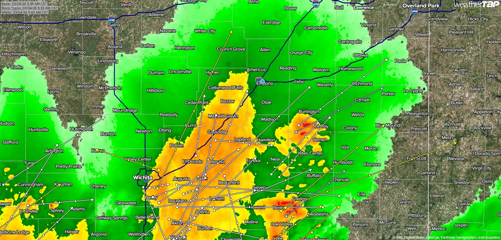
Strong storms began moving out of Oklahoma into southwest Kansas after midnight. Storms were intense but below severe levels as they got into Greenwood County before 5 am. Storms weakened as they moved east across Greenwood County. No storm activity got into Lyon or most other surrounding counties, although there was non-severe activity in southern Coffey County.
The active weather week continues. A marginal severe weather risk exists by late Thursday night into the pre-dawn hours Friday for wind and hail. There is also a slight-to-enhanced all-hazards risk for the entire KVOE listening area Friday afternoon into late evening. Areas along and east of a line from Council Grove to El Dorado are in the enhanced risk area.
KVOE and KVOE.com will have updates this week. If you have rain totals from Wednesday morning’s activity, message the KVOE Bluestem Farm and Ranch Supply text line at 620-342-5863.
Click here for KVOE’s YouTube channel, including severe weather outlooks and updates.
 (1)")


")