


Strong to severe storms and heavy rainfall are still possible areawide after sunset Wednesday.
The Storm Prediction Center has a slight-to-enhanced severe weather risk areawide, with the enhanced area along and south of a line from Kingman to Madison to Parsons. Regardless of the risk level, the main concern is heavy rainfall — possibly up to 1.5 inches of rain — along with large hail, wind gusts up to 70 mph and brief, isolated tornadoes.
The National Weather Service expects initiation by mid-evening, with the most widespread activity late Wednesday night or very early Thursday morning before activity moves out of the area ahead of sunrise.
KVOE and KVOE.com will have updates.
8:20 am Wednesday
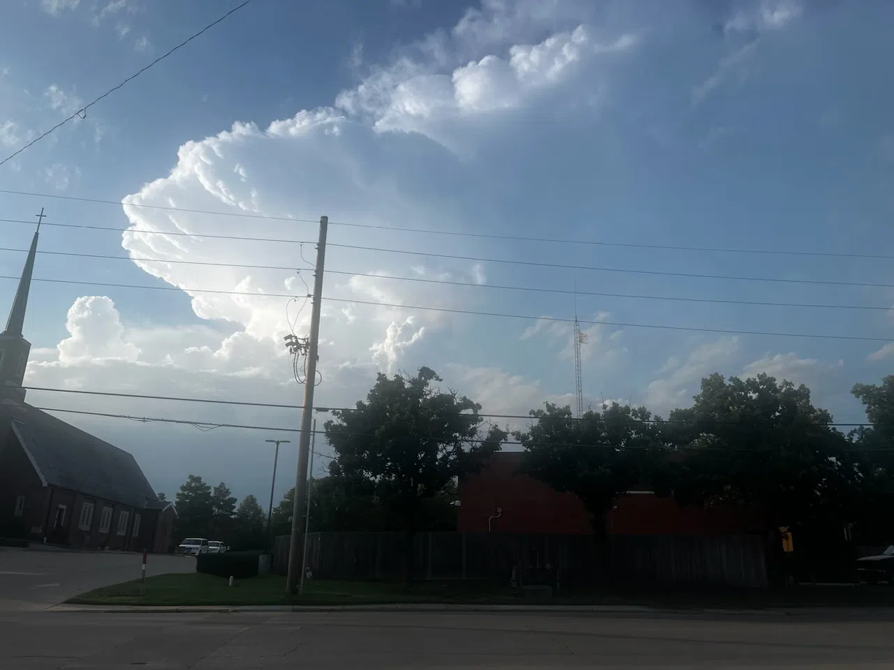
Thunderstorms are possible Wednesday afternoon and likely by sunset.
TV-13 meteorologist Doug Meyers says there is a chance of severe weather by evening, but he also see widespread rainfall as the lead risk for storm activity.
All hazards are possible as a cold front that caused a marginal severe weather risk Tuesday returns to the area as a warm front. However, Meyers says a lot will have to happen for the severe risk to materialize.
Storms late Tuesday night dropped quarter-sized hail 5 miles north of LeRoy and apparently nickel-sized hail near the junction of US Highway 75 and Kansas Highway 58. Rainfall reports from Tuesday night:
*KVOE studios: Nothing measurable
*Emporia Municipal Airport: 0.04 inches
*South and Sylvan: 0.15 inches
*10th and Weaver: Trace
*700 block South Weaver: 0.14 inches
*Lebo Heidi Inn: 0.35 inches
*Thorndale: 0.20 inches
Stay with KVOE, KVOE.com and KVOE social media for updates. KVOE’s Storm Team volunteer spotter network is getting alerted for the severe weather potential Wednesday.
 (1)")


")