


A threat of severe weather has not materialized.
A tornado watch for south central and southeast Kansas, including Chase and Greenwood counties, was issued Tuesday afternoon and ran almost its full length before being canceled with no severe weather reported.
There is a slight risk of severe storms along and east of the Kansas Turnpike for Wednesday, followed by an all-hazards severe weather risk Friday.
KVOE and KVOE.com will have updates.
3:30 pm Tuesday: Tornado watch for Chase, Greenwood counties until 11 pm
A risk of severe weather continues areawide, and there is now a tornado watch for two area counties.
*Tornado watch: Chase and Greenwood counties until 11 pm. Hazards are a few tornadoes, including some that may be intense, as well as hail to 3.5 inches in diameter and wind gusts to 75 mph
Stay with KVOE, KVOE.com and KVOE social media for updates.
Noon Tuesday: Repeat performance? Severe weather possible by Tuesday evening
After large hail through the middle of the KVOE listening area and tornadic activity east of the signal area Monday, more severe weather is possible Tuesday.
TV-13 meteorologist Doug Meyers expects scattered development by late afternoon, much like Monday’s severe weather.
Hail and wind are the main concerns, although isolated to scattered tornadoes can’t currently be ruled out and isolated flooding is possible.
Meyers says the severe weather threat largely hinges on the position of a dryline that may move east of the KVOE listening area Tuesday afternoon and then retreat west of the area. If the dryline stays east of Emporia, the likelihood of severe weather drops dramatically.
This follows the development of a line of supercells and less intense storms that formed near the Chase-Marion county line and tracked northeast, dropping quarter- to baseball-sized hail in a swath involving Cottonwood Falls, Emporia, Reading and central Osage County. The baseball-sized hail was isolated to areas immediately south and east of Cottonwood Falls. Tornadoes were also confirmed, including direct hits in Ottawa and Hillsdale. The National Weather Service has a survey team looking at the damage in those communities, as well as possible damage from east Osage County into Franklin County.
Severe weather is also possible Wednesday and Friday. All hazards are possible with both days.
Stay with KVOE, KVOE.com and KVOE social media for forecast updates this week. If you are not currently connected to KVOE social media, join KVOE on Facebook, Instagram and YouTube, all @kvoenews, and X@kvoeam1400. If you have storm photos or rain reports, message the KVOE Bluestem Farm and Ranch Supply text line at 620-342-5863. If you have storm videos, direct message KVOE’s Facebook page.
Click here for KVOE News’ coverage from Monday’s storm activity.
Click here for KVOE’s YouTube channel, including videos from KVOE listeners and updates from the KVOE News department.
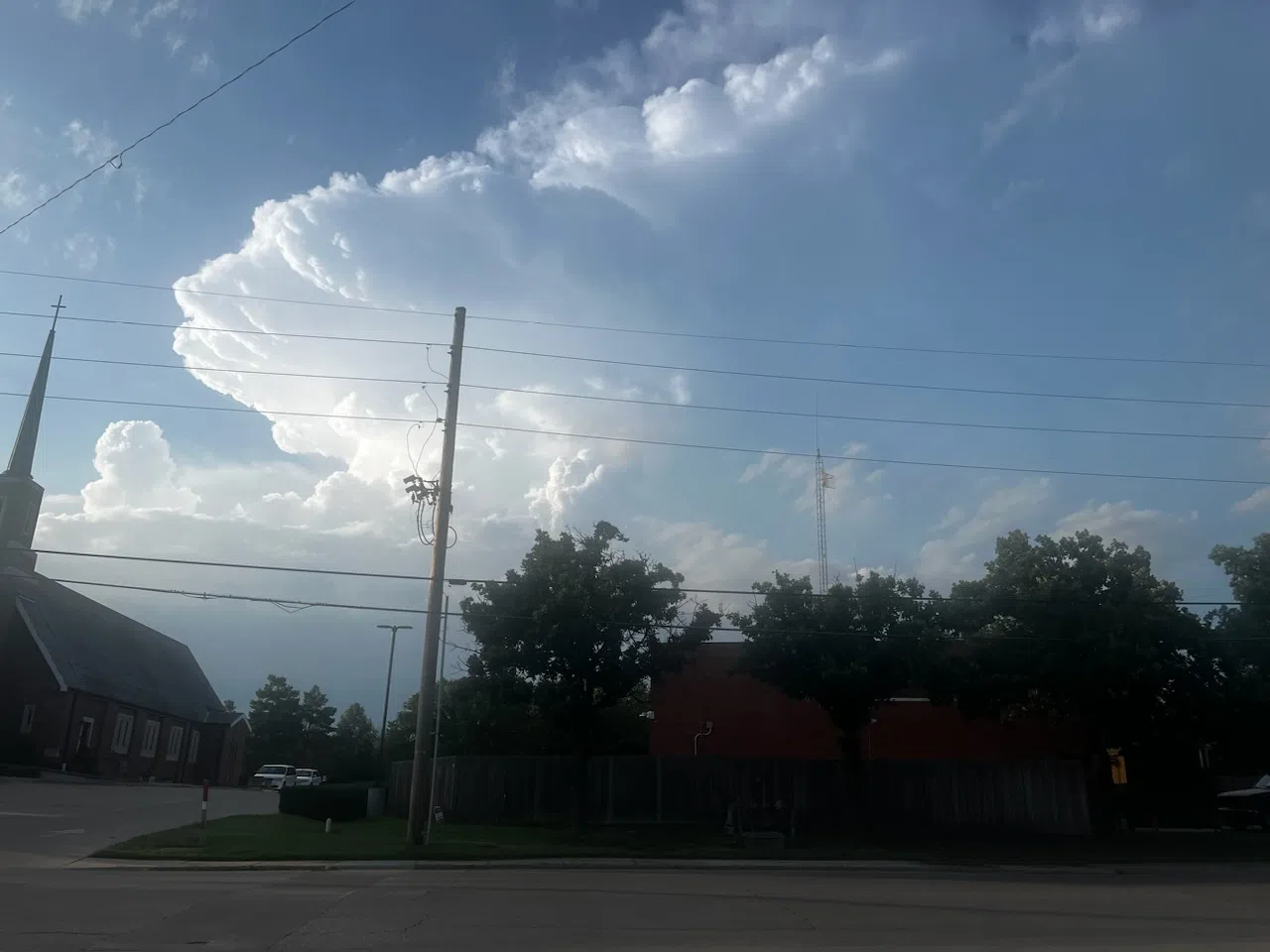
Photos from KVOE listeners
 (1)")


")