



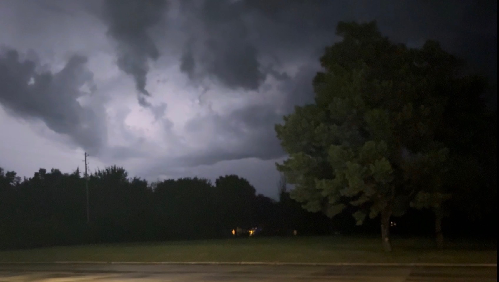
Periods of showers and storms took place Saturday night.
Area residents have not seen the severe weather risk materialize as was listed as possible, although wind gusts at or above 50 mph were estimated near Reading.
Brief heavy rain fell, although overall heavy rain totals have not been reported as of 10:30 pm.
*KVOE studios: 0.20 inches
*Emporia Municipal Airport: No report
More rainfall is possible Sunday, although chances of showers and storms are now slight.
After high temperatures in the mid-90s and heat index readings near 100 Saturday, Sunday should have high temperatures in the low 80s. Cooler air continues to filer into the forecast Monday, with highs in the low 70s. Temperatures around 70 are expected Tuesday, and temperatures in the 70s are expected through at least Thursday.
4 pm Saturday: Severe thunderstorm watch issued until 11 pm for Lyon, most surrounding counties
The risk for severe thunderstorm activity is increasing through the evening hours.
The Storm Prediction Center has issued a severe thunderstorm watch until 11 pm for Lyon, Chase, Coffey, Morris, Osage and Wabaunsee counties. Wind gusts at or above 60 mph are possible, and there could be gusts up to 75 mph. Hail up to the size of quarters are possible, with isolated stones as big as ping pong balls or 1.5 inches in diameter.
Storms are expected to develop and move northeasterly through the evening hours. Storm chances diminish overnight but persist through Sunday evening.
Be sure to stay with KVOE, KVOE.com and Weatherology for severe weather coverage as warranted Saturday evening.















