



Typically, hurricanes don’t have much impact on Kansas generally or the Flint Hills specifically. This week may not be typical.
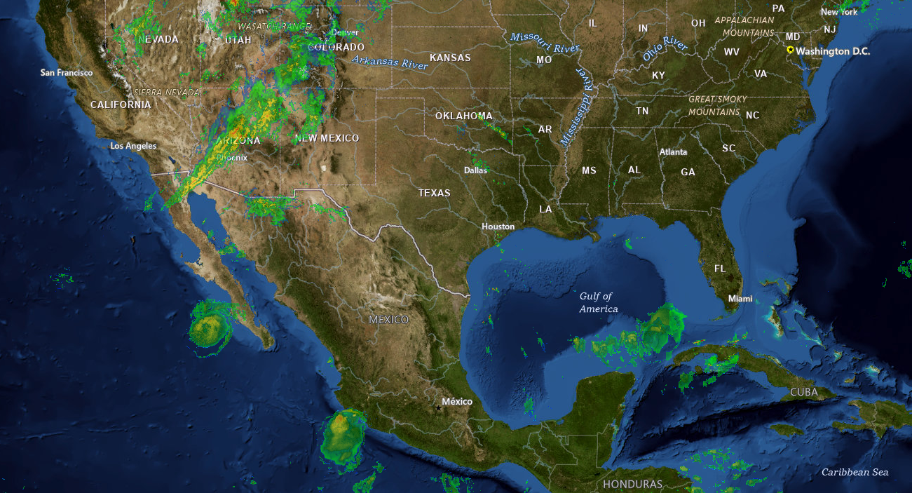
Moisture from the remnants of Hurricane Polo, which hit Category 5 status more than once in the Eastern Pacific Ocean last week, is set to soak the area later this week. Here’s National Weather Service meteorologist Bill Gargan:
As of midday Monday, Polo was situated near the southern end of Baja California. Gargan says Polo by itself has a lot of moisture to work with, and the combined system should start affecting central and east-central Kansas by Tuesday evening. Peak activity may wait until later in the week.
Current projections have anywhere from 1-3 inches of rainfall pretty commonplace by Friday. Some pockets of 4 inches or more are possible. There is currently a marginal severe weather risk for areas west of Kansas Highway 177 on Wednesday, with damaging wind as the main concern. Gargan sees at least isolated flooding as a bigger concern.
This has already been a wet month, with around 6 inches of rainfall at the KVOE studios since September 1. Other places have received more rainfall through September.
Stay with KVOE, KVOE.com and KVOE social media for updates.
















